Official websites use .gov A
.gov website belongs to an official government
organization in the United States.
Secure .gov websites use HTTPS A
lock (
) or https:// means you’ve safely connected to
the .gov website. Share sensitive information only on official,
secure websites.
Aquatic Species Restoration Plan Research and Studies
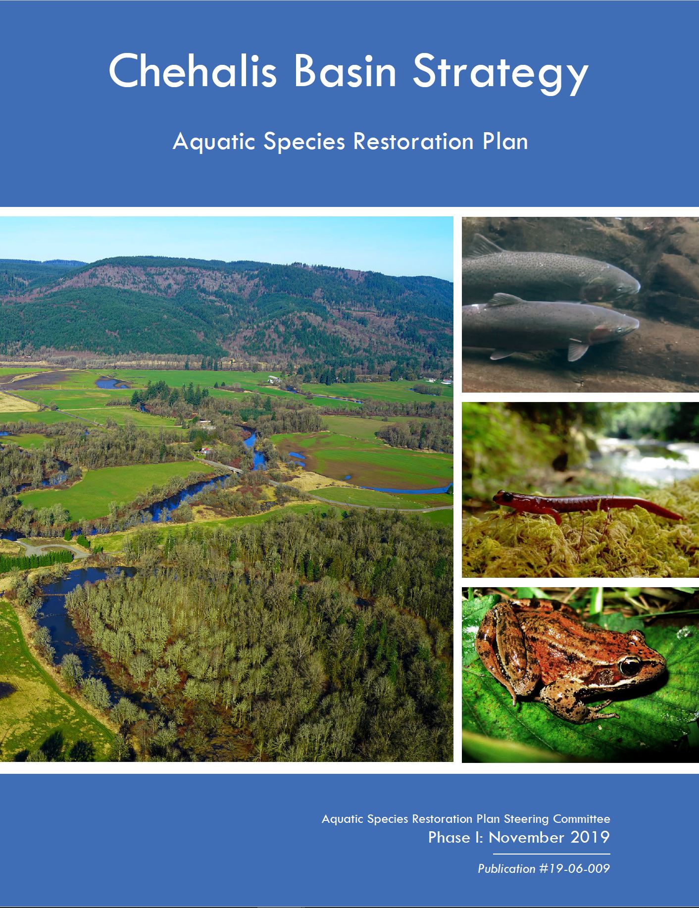
The Chehalis Basin Board, Ecology's Office of the Chehalis Basin, Washington Department of Fish and Wildlife, along with the Quinault Nation and Chehalis Tribes work in concert to fund studies within the Chehalis Basin. These studies help create and inform the Aquatic Species Restoration Plan (ASRP) for the Chehalis Basin. This science-based plan is designed to help restore and enhance aquatic species habitat and improve local communities. It was designed to efficiently and effectively rebuild and protect a healthy ecosystem that is resilient to the effects of climate change.
The Chehalis Basin and its rivers and tributaries are facing many simultaneous challenges:
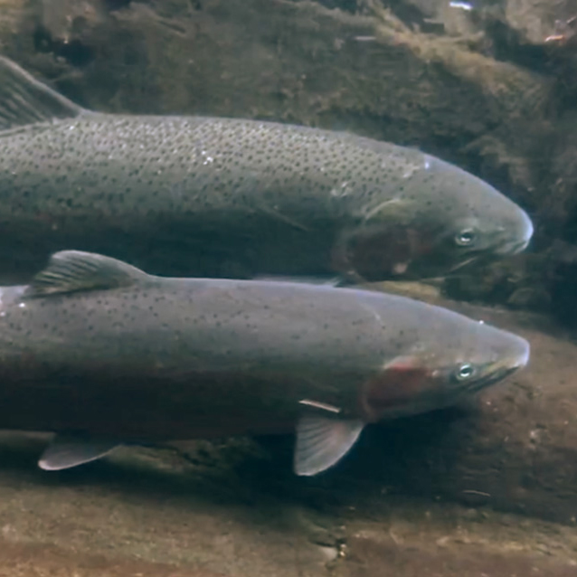
Declining returns of spring-run chinook salmon, and other native salmon and steelhead trout populations
Shifts in weather patterns due to climate change, including drier summer weather patterns, low streamflow, and warmer water temperatures
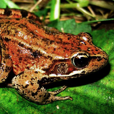
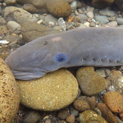
Loss of critical habitat affecting native fish, mammals, amphibians, birds, and other species
Competition from non-native and invasive species
The Aquatic Species Restoration Plan, Phase I publication.
The ASRP is both a living document and plan for the Chehalis Basin. In 2019, we released Phase 1 of the ASRP. It is envisioned that there will be multiple revisions of this plan adjusting to feedback from further monitoring and scientific studies. The Chehalis Basin Board will use this plan to guide ongoing and future habitat and species restoration and enhancement projects within the basin.
Research and studies
There are three types of studies for ASRP: measuring project effectiveness, monitoring status and trends, and testing hypotheses and assumptions through experimental research. These studies help us determine how well the ASRP is meeting its goals and what changes need to be made for futher improvements for habitat and aquatic species populations.
The ASRP has many studies, past and present, to track the status of the Chehalis Basin. To make it easier to find information we have grouped the studies by the following categories:
The purpose of egg-mass surveys was to detect and determine the distribution of still water breeding amphibians and other ASRP non-salmonid target species in floodplain off-channel habitats of the mainstem Chehalis River.
Principal Investigators: Marc Hayes, Julie Tyson, and Keith Douville
The purpose of instream amphibian surveys was to determine the distribution of western toad breeding and their associated aquatic fauna in the Chehalis River mainstem and its tributaries.
Principal Investigators: Marc Hayes, Julie Tyson, and Keith Douville
As Oregon spotted frog habitat is protected and restored in and around the Black River Ecological Region, WDFW will monitor egg masses, hydrology, frog movement, and the presence and removal of bullfrogs, an invasive predator.
Principal Investigators: Julie Tyson and Max Lambert
Unlike in-channel amphibians, stream-associated amphibians live on the land immediately adjacent to streams. This four-year project focused on Dunn’s and Van Dyke’s salamanders.
Principal Investigators: Marc Hayes, Julie Tyson, and Keith Douville
The National Oceanic and Atmospheric Administration (NOAA) developed a suite of analyses and life-cycle models to assess the impact of historical habitat changes, and model future ASRP restoration scenarios.
Principal Investigators: Timothy Beechie, Colin Nicol, Caleb Fogel, Jeff Jorgensen, and Britta Timpane-Padgham
Salmon possess otoliths, or ear bones, that are constantly growing. Otoliths provide a continuous record regarding whether a fish was in fresh or salt water at every point in their life cycle. This study used these data to investigate the life histories and spawning run timings of spring and fall chinook salmon.
Principal Investigators: Lance Campbell, Andrew Claiborne, Sara Ashcraft, Mara Zimmerman, and Curt Holt
The goal of this work is to assess the abundance, timing, spatial distribution, and diversity of spring and fall chinook, coho and steelhead. The Newaukum River has concurrent measurements of smolt and adult abundance, which will allow for an estimate of smolt-to-spawner ratio.
Principal Investigator: Marie Winkowski
ASRP uses computer models to predict the outcome of restorations on fish. One of those models is a salmon life cycle model built by the National Oceanic and Atmospheric Administration (NOAA).
The method used for estimating chum salmon abundance in Grays Harbor and its tributaries since the 1970s was suspected to be underestimating populations, so a new method was developed and evaluated using carcass tagging, live and dead fish counts, and peak spawning surveys.
Principal Investigators: Lea Ronne, Amy Edwards, and Mara Zimmerman
This study was undertaken to understand the numbers and species of salmonids that would be affected above, within, and below the area backwatered (referred throughout the document as the inundation footprint) by the proposed Chehalis River flood retention dam and associated temporary reservoir.
Principal Investigators: Lea Ronne, Nick VanBuskirk, and Marisa Litz
The goal of this study is to describe the seasonal patterns of invasive smallmouth bass distribution in the Chehalis River in relation to water temperatures and other physical factors. The study will attempt to find the upstream limit of smallmouth bass using environmental DNA.
Principal Investigator: John Winkowski
This ongoing study increases our understanding of native freshwater fish species distribution, and occupancy and density.
Principal Investigators: Marie Winkowski and Neala Kendall
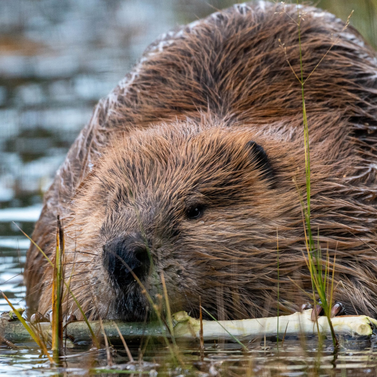
This work will develop the Chehalis Basinwide Beaver Management Plan, a document that provides direction on beaver issues in the Chehalis Basin. The plan can inform basin-level beaver monitoring with the ASRP’s Monitoring and Adaptive Management Plan.
Principal Investigator: Keith Douville and Max Lambert
This study examined the abundance and use of the Chehalis Basin by water-loving birds such as ducks, geese, and swans.
Principal Investigators: Matthew Hamer, Andrew Annanie, Joseph Evenson, Ilai Keren, and Marc Hayes
This effort will include working with Xerces Society and U.S. Fish and Wildlife Service to expand the knowledge of mussel species in the Chehalis Basin. The main focus will be on the western ridged mussel.
Principal Investigators: Julie Tyson and Max Lambert
The investigators analyzed the Chehalis Basin floodplain using aerial photograph change-detection methods to describe habitat and habitat change trajectories, especially for classes of major aquatic and non-aquatic habitat.
Principal Investigators: Kenneth B. Pierce Jr., Marc P. Hayes, Jeanne A. Miller, Kevin R. Samson, Arleta C. Agun and Julie A. Tyson
Using a modified version of the USDA Natural Resource Conservation Service’s Stream Visual Rapid Assessment Protocols, WDFW and Chehalis Tribe staff will evaluate high-priority stream and river reaches for restoration potential.
Principal Investigator: Cade Roler
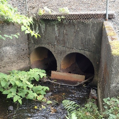
In the Chehalis Basin approximately 2,400 culverts impede the movement of aquatic species, and the changing stream flow patterns resulting from climate change will affect the impacts of those culverts in various ways. This project combines modeling and field data collection to inform the construction of climate-adapted culvert replacements.
Principal Investigator: Jane Atha
Principal Investigator: Cade Roler
The regional NorWeST model predicts stream temperatures in the Northwest. This project improved the accuracy of stream temperature predictions in the Basin by taking local measurements and using the NorWeST methods.
Principal Investigators: John Winkowski and Mara Zimmerman
Beaver dam analogs mimic the functions that beaver dams formerly played in creating ponds and wetlands, and sometimes attract beavers to maintain them over the long term. This project explores how beaver dam analogs can improve habitat complexity and temperature.
Principal Investigators: Tristan Weiss, Reed Ojala-Barbour, Aimee McIntyre, and Jamie Glasgow
The goal of the Lower Satsop River Habitat Restoration Project is to improve riverine connectivity and habitat in the floodplain and reduce agricultural soil bank erosion. Three ponds were excavated approximately one mile upstream of the confluence of the Satsop and Chehalis rivers. To support this effort, as part of its contribution to a basin-wide ASRP, the Aquatic Research Section of the WDFW Habitat Science Division engaged in monitoring this site beginning in March 2015.
Principal Investigators: Julie Tyson, Wes Bowens, Keith Douville, Lameace Hussain, Kelly Perry, and Max Lambert
The Off-Channel Experimental Reconnection Project will inform the ASRP by helping answer the question: “Will increasing the level of connection between the mainstem river and an off-channel area improve temperature and oxygen?” A secondary objective is to answer the question: “How does the increased level of off-channel connection affect native and exotic species?”
Principal Investigators: Julie Tyson, Marc Hayes, Keith Douville, Aimee McIntyre, and Reed Ojala-Barbour
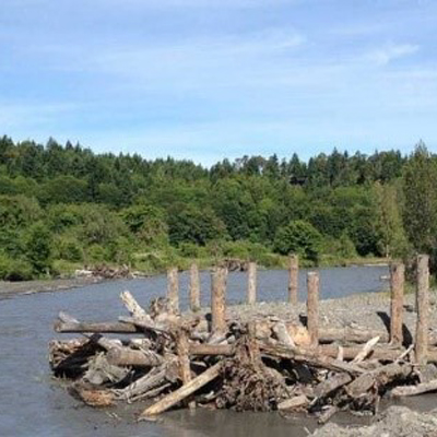
Sediment wedges are accumulations of sand and gravel behind and upstream of channel-spanning log jams. This project will examine changes in stream flow and temperature that occur after artificial sediment wedges structures have been installed.
Principal Investigators: Tristan Weiss, Reed Ojala-Barbour, and Aimee McIntyre
Data sources
Data on water, fish, and more is abundant in the Chehalis Basin. Many databases allow searching by Water Resource Inventory Area (WRIA). The Chehalis Basin encompasses two WRIAs — WRIA 22 (Lower Basin) and 23 (Upper Basin). The links below include several useful data sources for the Chehalis Basin.
Department of Ecology
Environmental Information Management database (EIM) for comprehensive water quality data: