OLYMPIA –
Washington has adopted a new tool to help make coordinated, science-based decisions about new projects and uses that may be proposed for the Pacific Ocean that are adjacent to the state coastline.
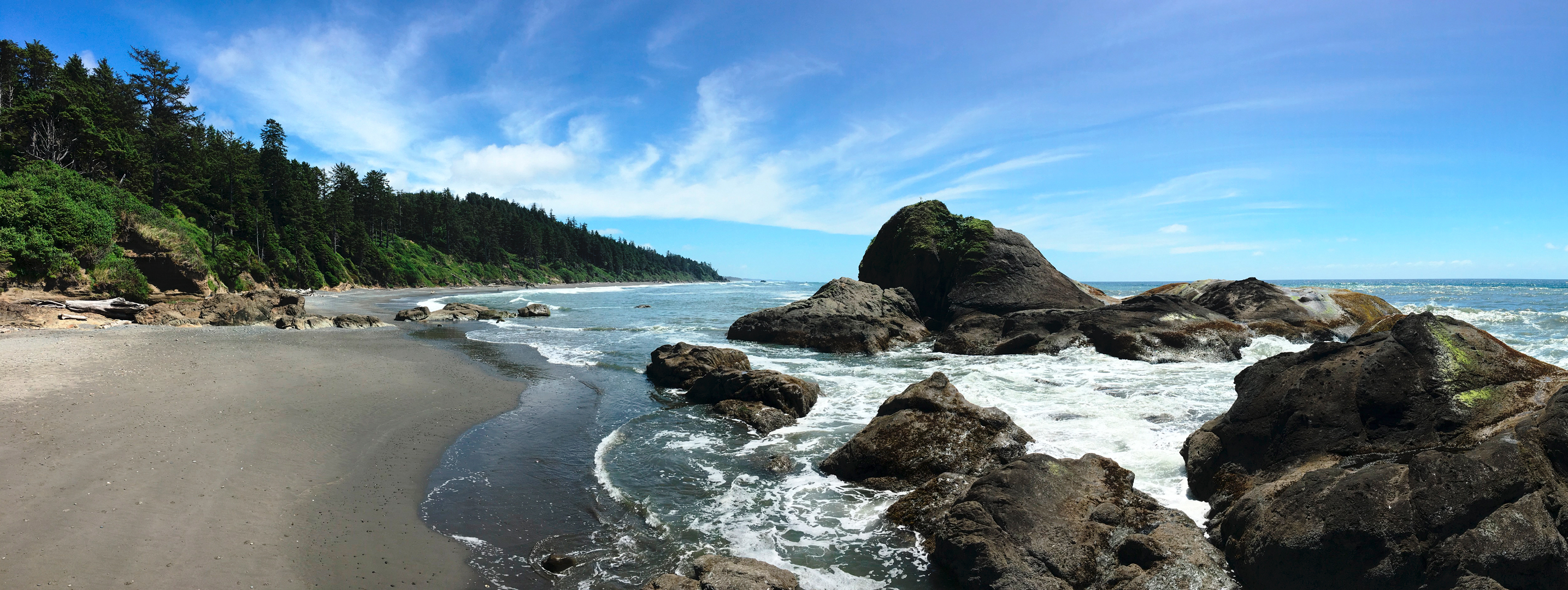
The Washington departments of Ecology, Fish and Wildlife and Natural Resources (DNR) jointly developed a marine spatial plan after a six-year planning process. The plan sets a framework for evaluating new projects and uses proposed in an ocean area nearly 6,000 square nautical miles in size between Cape Flattery and Cape Disappointment.
In 2010, the Washington Legislature enacted a marine planning law to foster integrated coastal decision making and ecosystem-based ocean management. The measure was designed to help the state address growing pressure on coastal resources and the potential for increased conflicts about ocean uses.
Currently, most ocean uses in Washington center on recreation, maritime shipping, coastal fishing and shellfish aquaculture. However, the state anticipates reviewing proposals for new activities such as offshore wind and wave energy projects, sand and gravel mining, dredge material disposal, and offshore aquaculture operations.
The new marine spatial plan outlines the data and information needed to evaluate new proposals, especially potential effects new ocean uses could have on people, local communities and the environment. The plan also ensures public input by establishing a coordination process among local and tribal governments as well as state and federal agencies.
Since the guidance contains new policies to protect Washington's coastal resources and ocean uses, the guidance also puts the state in a strong position to review and shape new ocean activities in areas of state and federal waters in the plan's study area.
“Washington has an important, influential role regarding where and how new projects or uses are sited, built and operated, including federal projects in federal waters,” said Sally Toteff who oversees Ecology’s regional activities including the Pacific coast. “We will make sure the plan is fully implemented and the public is engaged in the review process for any new coastal proposal.”
The three state agencies brought different, but complementary skills, resources, and expertise together to develop the plan. DNR provided critical scientific knowledge, information and analysis about the state’s coastal aquatic lands. The agency also provided funding, planning, policy, and administrative skills to shape the plan.
“The marine spatial plan will help ensure future projects do not cause long-term significant adverse effects to the environment, fisheries and other resources,” said Kristin Swenddal, division manager for DNR’s aquatic lands program. “The plan also provides a wealth of information helpful to anyone interested in understanding our Pacific Coast, help monitor or assess our changing ocean conditions, or assist with other types of planning.”
Fish and Wildlife provided critical data and analysis on fisheries, marine resources, and current ocean conditions as well as future trends. The agency also analyzed data about ecologically important areas, including identifying unique habitats and sensitive areas for fish, orca, birds, and other wildlife.
“While the ocean is a vast ecosystem, there is competition to use a small fraction of it,” said Michele Culver, Fish and Wildlife’s intergovernmental ocean policy manager. “The plan provides the means for us to carefully consider the placement of proposed new uses and the effects on other important activities, such as fishing, that occur in the same area."
The plan establishes protections for fisheries and ecologically sensitive areas in state waters, but it does not change current management or permit processes for existing marine activities such as fisheries management plans or shellfish aquaculture.
The state worked closely with local and tribal governments, other state agencies, the Washington Coastal Marine Advisory Council, environmental and planning groups, the private sector and the public to develop the plan.
Before the plan was adopted, the agencies addressed comments received during the public review process – including feedback on a related environmental impact statement (EIS) which evaluated anticipated impacts that could arise from adopting the plan. The final EIS found that adopting the plan was largely beneficial to the environment and communities.
Ecology will submit the marine spatial plan to NOAA to be approved as part of Washington’s federally-approved Coastal Zone Management Program.
Department of Ecology News Release - June 20, 2018
Updated: June 19, 2018
State adopts plan for evaluating new ocean projects
Marine spatial plan designed to protect coastal resources and uses