

Lower Columbia urban streams
Stormwater Action Monitoring (SAM) conducts status and trends monitoring of urban streams in the Lower Columbia River region to track how stormwater runoff from urban areas affects the health of small, wadable streams.
Study goals
Stakeholders, including municipal stormwater permittees in Clark and Cowlitz counties, want to know how urban stream health changes over time as the area urbanizes and stormwater controls are implemented more broadly.
Study design
This monitoring is designed to assess the current stream conditions and eventually answer the question: Are the quality and biota conditions of receiving waters in the region improving with broad implementation of required stormwater management practices?
The Lower Columbia urban streams study collects water and sediment chemistry, in-stream and riparian habitat information, and benthic macroinvertebrate samples. Streamflow and temperature are continuously monitored at each site.
Detailed information about the study design, sampling schedules, and more is in the Quality Assurance Project Plan (2020), Addendum 1 (2021), Addendum 2 (2023), and Addendum 3 (2024).
All data are available for download from our EIM database.
Sampling locations
Urban stream sites in the municipal stormwater permitted area in Clark and Cowlitz counties were hand-picked for monitoring. Each year we visit eight or nine sites. The same five trend sites are monitored every year and the other status sites are monitored once every five years. Open the map below to explore the current sampling locations.
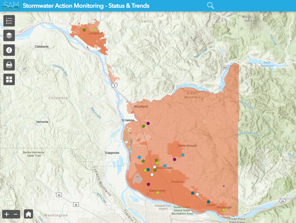
Lower Columbia Urban Streams study sampling locations. Explore the interactive online map here.
On-going study details
Contact information
Chelsea Morris
Stormwater Action Monitoring Scientist
chelsea.morris@ecy.wa.gov
564-999-3052