

Puget Sound nearshore
Stormwater Action Monitoring (SAM) conducts status and trend monitoring in Western Washington streams and nearshore marine waters.
Study goals
Stakeholders, including municipal stormwater permittees in Western Washington, want to know how Puget Sound nearshore health changes over time as the area urbanizes and stormwater controls are implemented more broadly.
Study design
This monitoring is designed to assess the current nearshore conditions and answer the question: Are the quality of receiving waters in the region improving with broad implementation of required stormwater management practices?
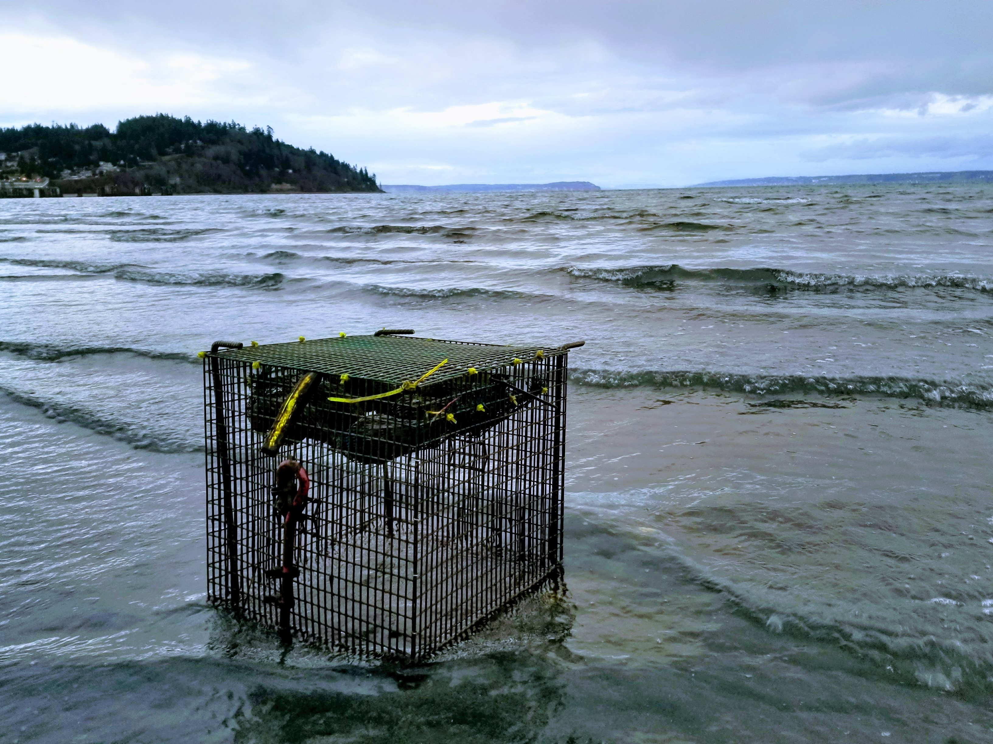
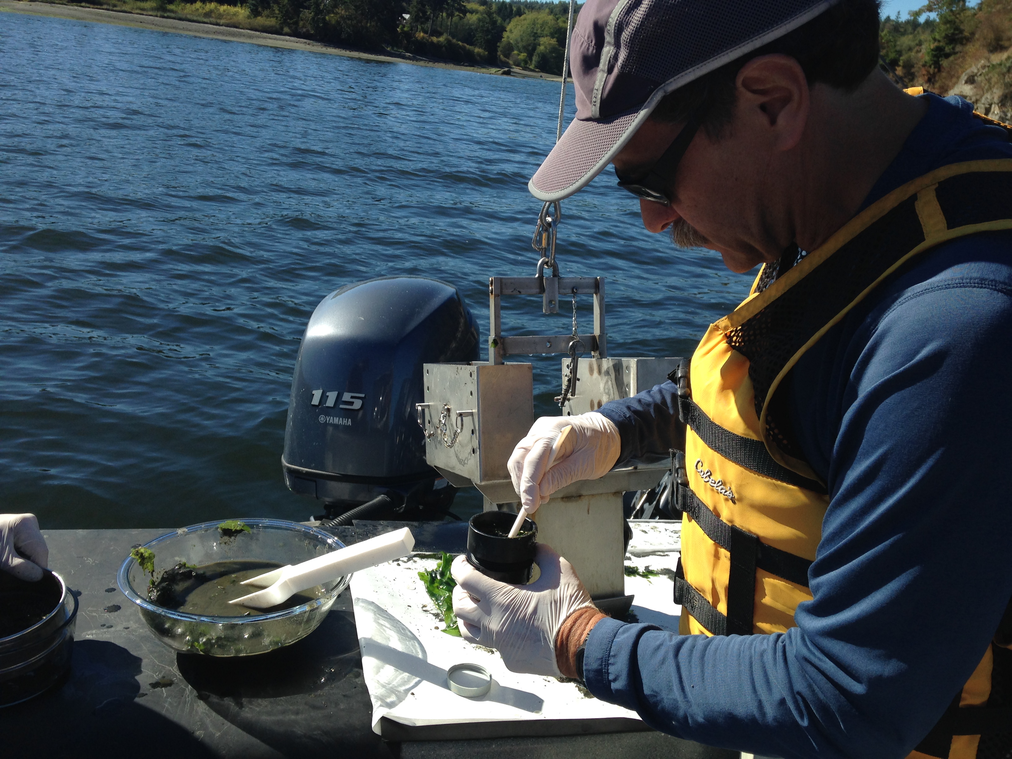
The Puget Sound nearshore monitoring studies collect marine sediment and use caged native bay mussel to assess the level of pollutants present. Mussel monitoring surveys are conducted in the winter months every other year, while marine sediment is collected about every 10 years.
In 2021, we launched SAM's new Puget Sound long-term stormwater monitoring program to improve efficiency and statistical power. Learn more about the design in our study design fact sheet. Detailed information about the mussel monitoring study design, sampling schedules, and more is in the Quality Assurance Project Plan (2022).
All mussel tissue data are available for download from our EIM database.
Study findings
Four years of monitoring pollutants in caged bay mussels from 2015 to 2020 found that the concentrations of many organic contaminants, including polycyclic aromatic hydrocarbons (PAHs), polychlorinated biphenyls (PCBs), and polybrominated diphenyl ethers (PBDEs) were highly correlated with the urban metrics, such as the percentage of impervious surface cover in the region. See the fact sheet and completed studies list below for more details.
Sediment monitoring in 2016 found that concentrations of metals and organics in nearshore sediment were relatively low in locations adjacent to urbanizing areas. Natural variables, such as ocean currents movement appear to govern spatial variation of sediment quality in the area. Lead, copper, and zinc concentrations were only weakly related to urban land use metrics. See the fact sheet and completed studies list below for more detail.
Sampling Locations
Sampling sites are randomly selected to represent the full range of urban and urbanizing conditions across the Puget Sound region. Each year we deploy caged mussels at 33 nearshore sites and two least-distrubed reference sites. To improve trend detection power, we return to each site two more times at five-year intervals.
On-going study contract details
Completed studies list
Related links
Contact information
Chelsea Morris
Stormwater Action Monitoring Scientist
chelsea.morris@ecy.wa.gov
564-999-3052