Rivers & streams temperature monitoring
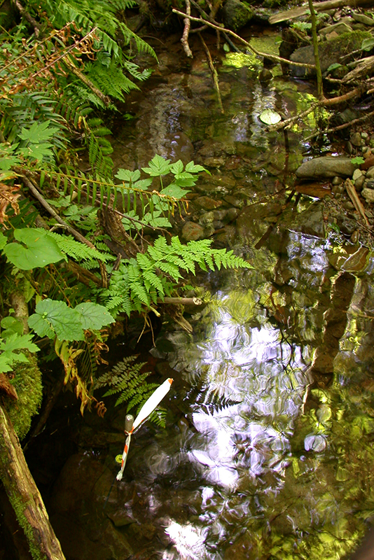
We measure the temperature of rivers and streams across the state. In summer, we continuously log stream temperatures at 30-minute monitoring intervals at most long-term and basin ambient monitoring stations.
These data help us to determine and analyze temperature trends and determine whether streams meet state minimum and maximum standards to support aquatic and environmental health.
We also have thermal infrared images of several river systems.
Long-term and real-time temperature monitoring
Freshwater Information Network is a map-based application showing all of our water quality information, including data for temperature. Temperature data are gathered from automatic loggers at various stations from July through September. As resources and locations allow, we are establishing more year-round temperature monitoring stations, and in some instances, we deploy seasonal oxygen monitors.
We generally deploy the loggers that collect summer data by early July and retrieve them in late September and usually swap out the loggers at our year-round stations following a similar (June – Sept.) schedule.
Thermal infrared and video river surveys
We conducted infrared river surveys of several rivers in 2003 – 2004 from small planes equipped with cameras and infrared sensors. These multicolored images show warm and cold spots in the river systems and are useful for detecting cool versus warm streams within a watershed, cool reaches within a stream, and cool habitats within a reach.
We now have a thermal infrared image viewer for the nine basins and nearly 40 rivers. Choose a river in the drop-down menu on the left to scroll through the thermal images in the map on the right.
Basins represented are:
Naches
Oakland Bay
Palouse
Skagit
Stillaguamish
Walla Walla
Wenatchee
Willapa
Contact information
Dan Dugger
Ambient Water Quality Temperature Lead
daniel.dugger@ecy.wa.gov
360-701-9671


