

How do you investigate a sediment cleanup site… mostly underwater? Crews with survey instruments from boats and scuba divers using underwater cameras, sonar, and jet probes are up to the challenge!
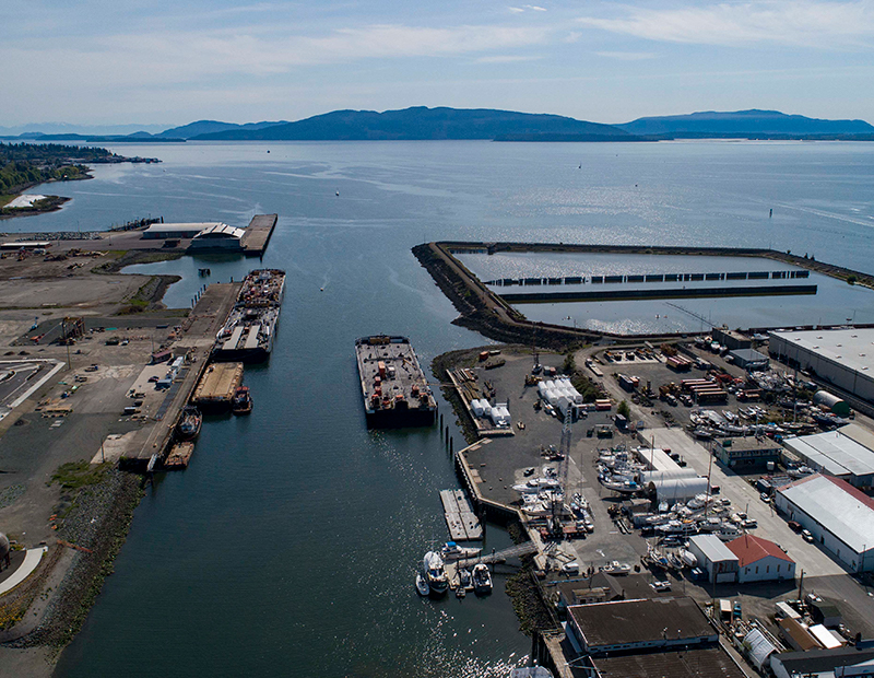
We're getting ready to clean up the rest of Bellingham Bay’s largest cleanup site: Whatcom Waterway.
First we have to gather additional information to help design the remaining cleanup work.
Beginning now through late September, contractors will test in-water sediment and survey existing structures and the sea floor in certain areas of the Whatcom Waterway site.
Where is this site in the cleanup process? And what happens next?
Steps in Washington's formal cleanup process.
The planned fieldwork, called a pre-remedial design investigation, will provide additional information to complete engineering design of the cleanup action for Phase 2 areas.
The Port of Bellingham along with other state and city agencies, and a private company (known collectively as Potentially Liable Parties or PLPs) are conducting this fieldwork in accordance with a Consent Decree with Ecology.
Engineering design and permitting for cleanup of Phase 2 areas will take about two years to complete, with construction work beginning as early as 2023. The cleanup work will include dredging with off-site disposal, dredging with on-site consolidation, and capping.
Where will fieldwork occur?
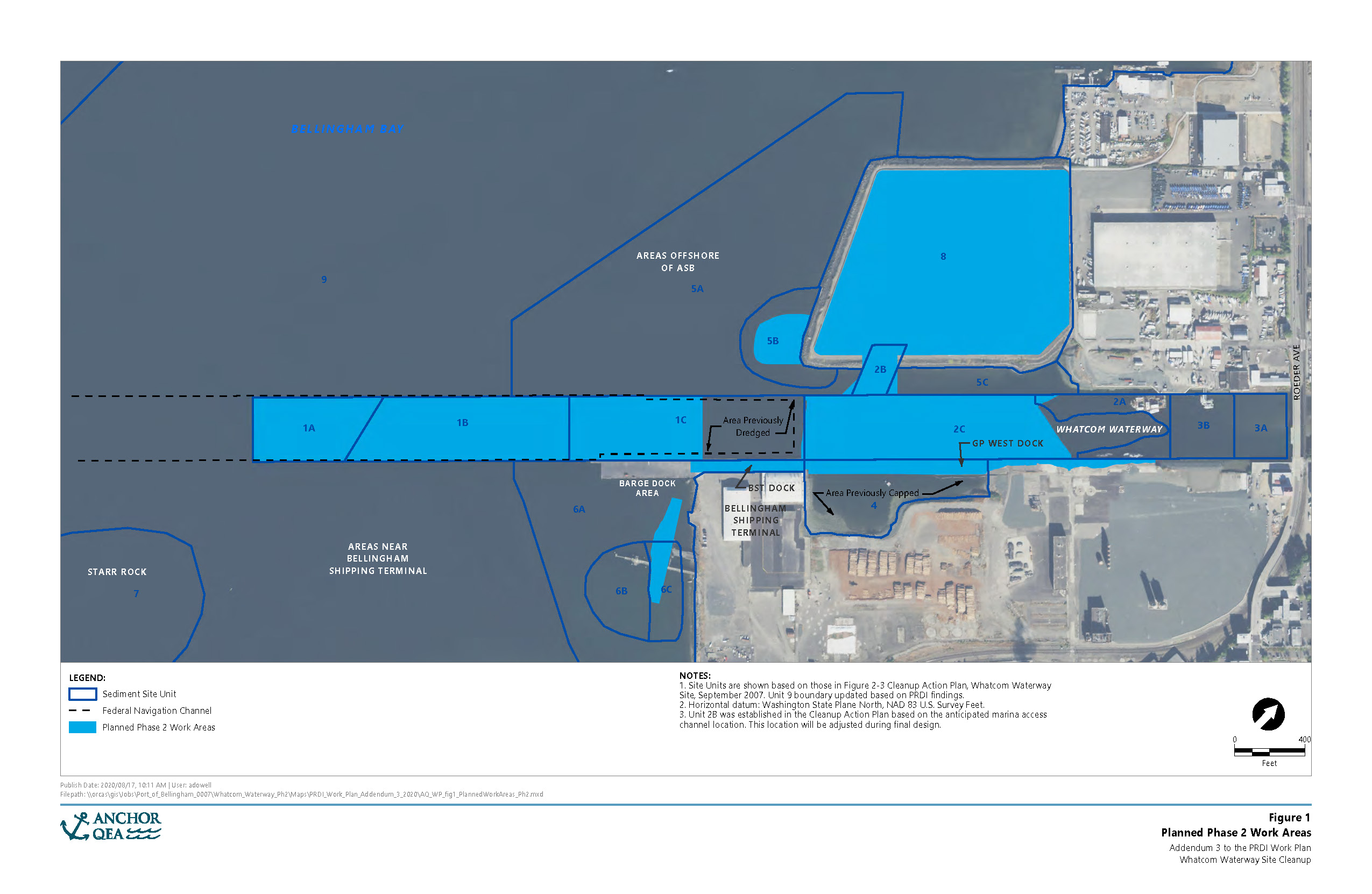
Click on the image to the right to view a map of the planned fieldwork areas.
What will I see happening on the Bellingham waterfront?
Some of the fieldwork will be visible above water, but much of the testing and survey work will occur underwater. For specific testing and survey location maps, see the pre-remedial design investigation work plan.
Sediment testing
Example of vibracore sediment sampling equipment.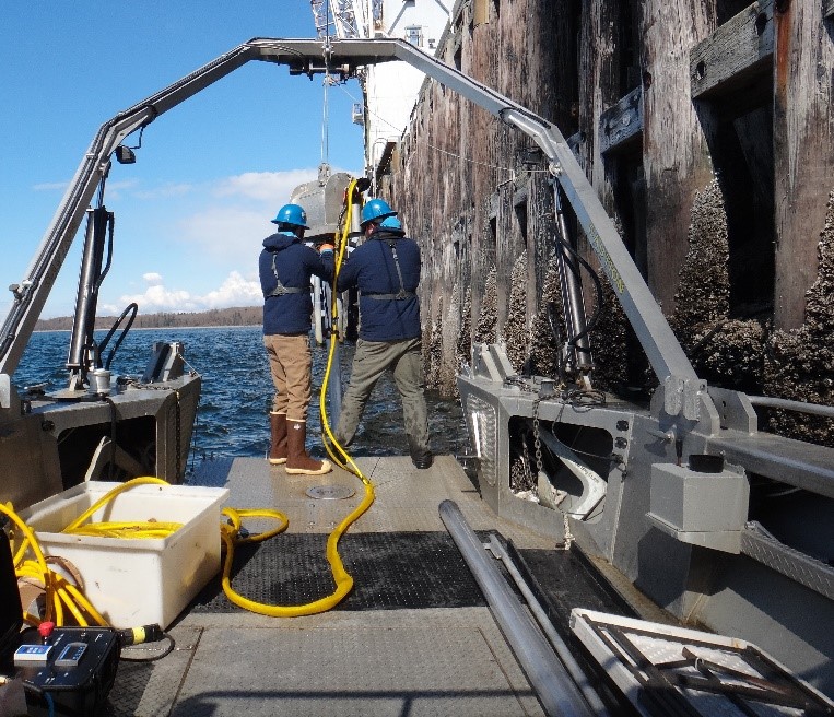
Research diver during Phase 1 surveys.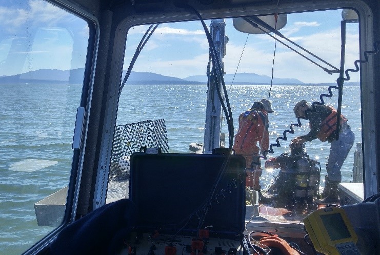
Aerated Stabilization Basin (ASB) testing
Aerated Stabilization Basin 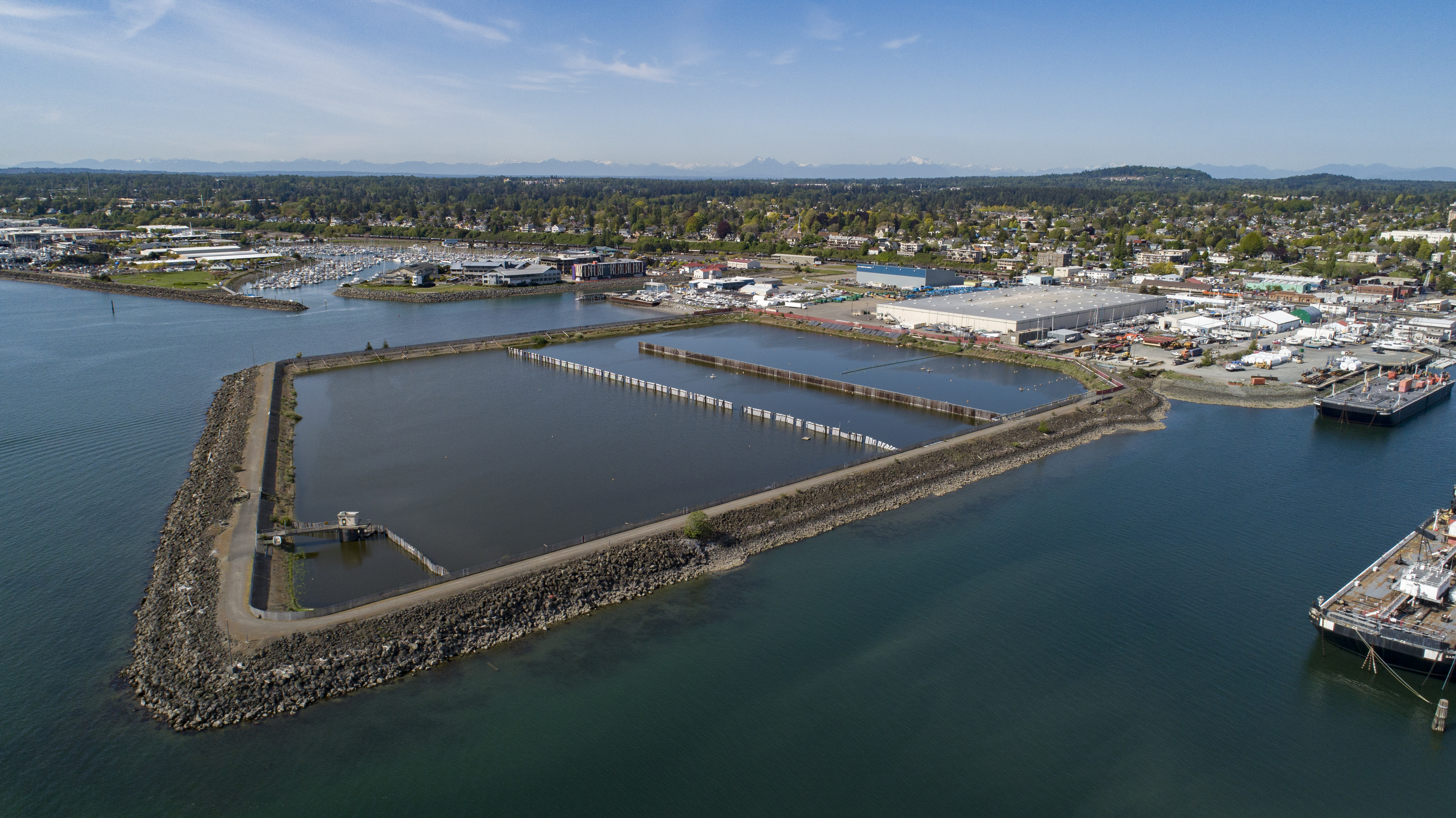
Eelgrass surveys
Eelgrass 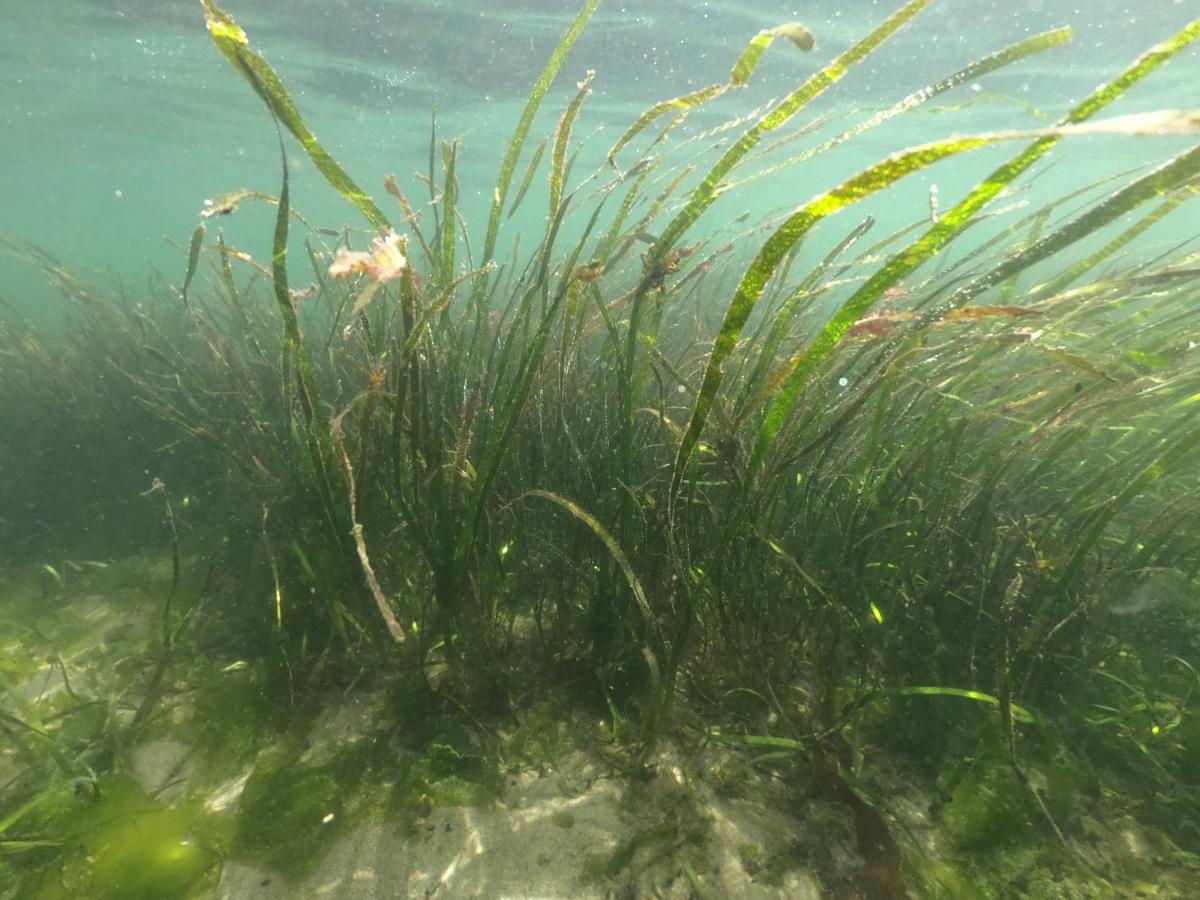
These surveys will inform where cleanup work may overlap habitat areas.
Under-pier surveys
To survey under piers, crews will use conventional surveys such as weighted lines to measure the floor depth. Divers will also use jet probes to survey the sea floor. Jet probes force air and water through the tip of a thin hollow tube to estimate sediment type and depth as well as other hard underwater objects.
Funding
Pre-remedial design investigation activities are expected to cost just over $500,000. The port, in its role as lead PLP, will incur this cost. The port is eligible for reimbursement of up to half of their cost from Ecology through the state’s Remedial Action Grant Program, which helps pay for the cleanup of publicly-owned sites. The Legislature funds the grant program with revenues from a tax on hazardous substances
Cleaning up Bellingham Bay
The Whatcom Waterway site is one of 12 Bellingham Bay cleanup sites coordinated through the Bellingham Bay Demonstration Pilot. The pilot is a bay-wide multi-agency effort to clean up contaminated sediment, control sources of sediment contamination, and restore habitat, with consideration for land and water uses. In 2000, participants in this initiative developed the Bellingham Bay Comprehensive Strategy.