

After two years of very warm air and record-high water temperatures, Puget Sound is close to normal. Between the Blob warming our waters in 2015 and the past year of El Niño, we're still a bit warmer than usual, but we're in better shape than we've seen in some time.
See our 2016 in pictures report.
Learn about how the global climate affects water quality, see the impacts warmer waters had on the Sound, and compare photos from flights throughout 2016 in this year-end summary.
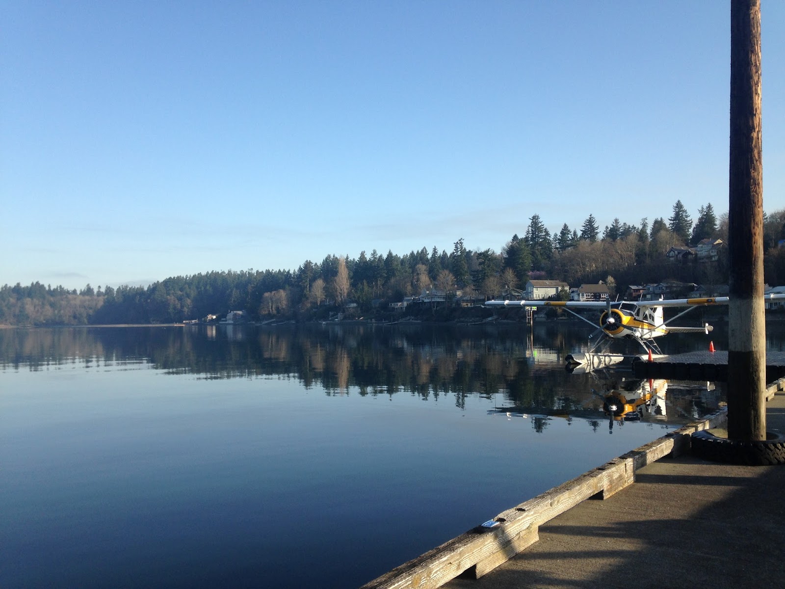
Nov. 2016 — Squaxin Passage
Sept. 2016 — Liberty Bay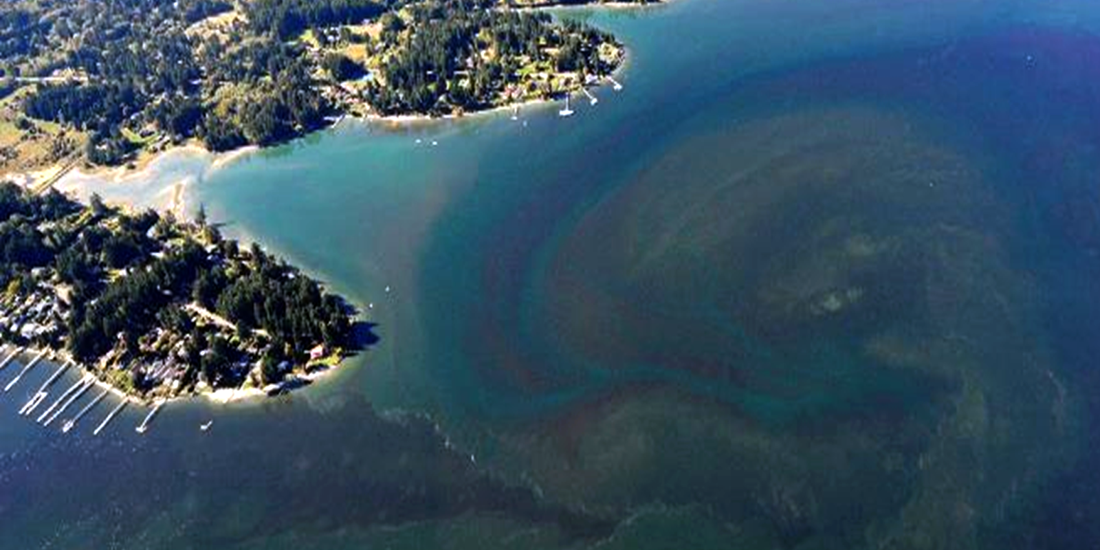
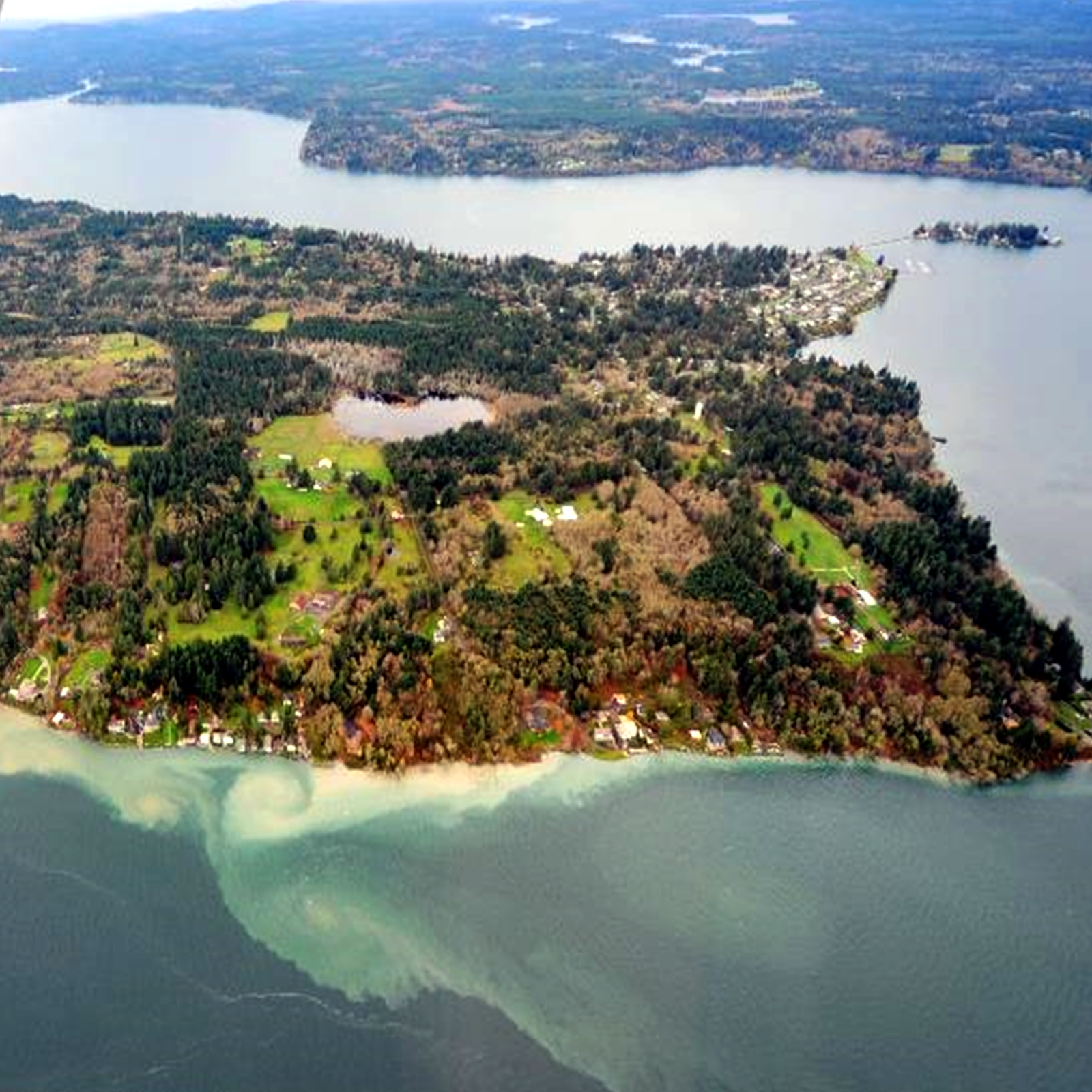
Sept. 2016 — Budd Inlet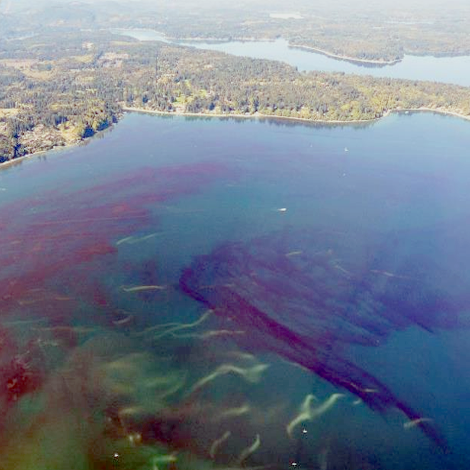
Surprisingly, only South Puget Sound developed very low summer oxygen levels in 2016. By fall, La Niña came with a punch! This brought more rain and cool air temperatures. But the question remains: will this be an unusual La Niña?
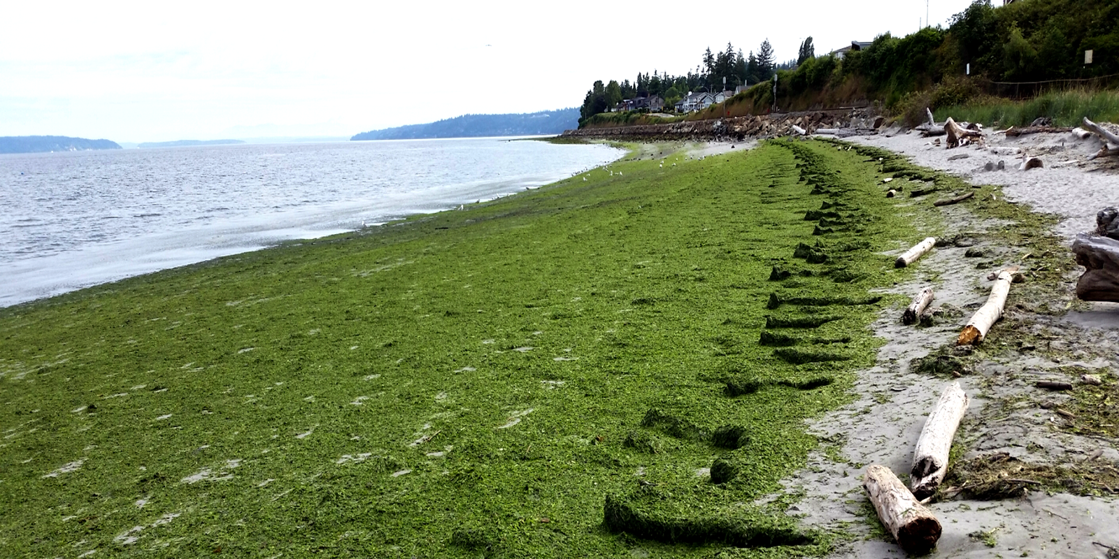
July 2016 — Edmonds Underwater Park
What's Eyes Over Puget Sound?