Official websites use .gov A
.gov website belongs to an official government
organization in the United States.
Secure .gov websites use HTTPS A
lock (
) or https:// means you’ve safely connected to
the .gov website. Share sensitive information only on official,
secure websites.
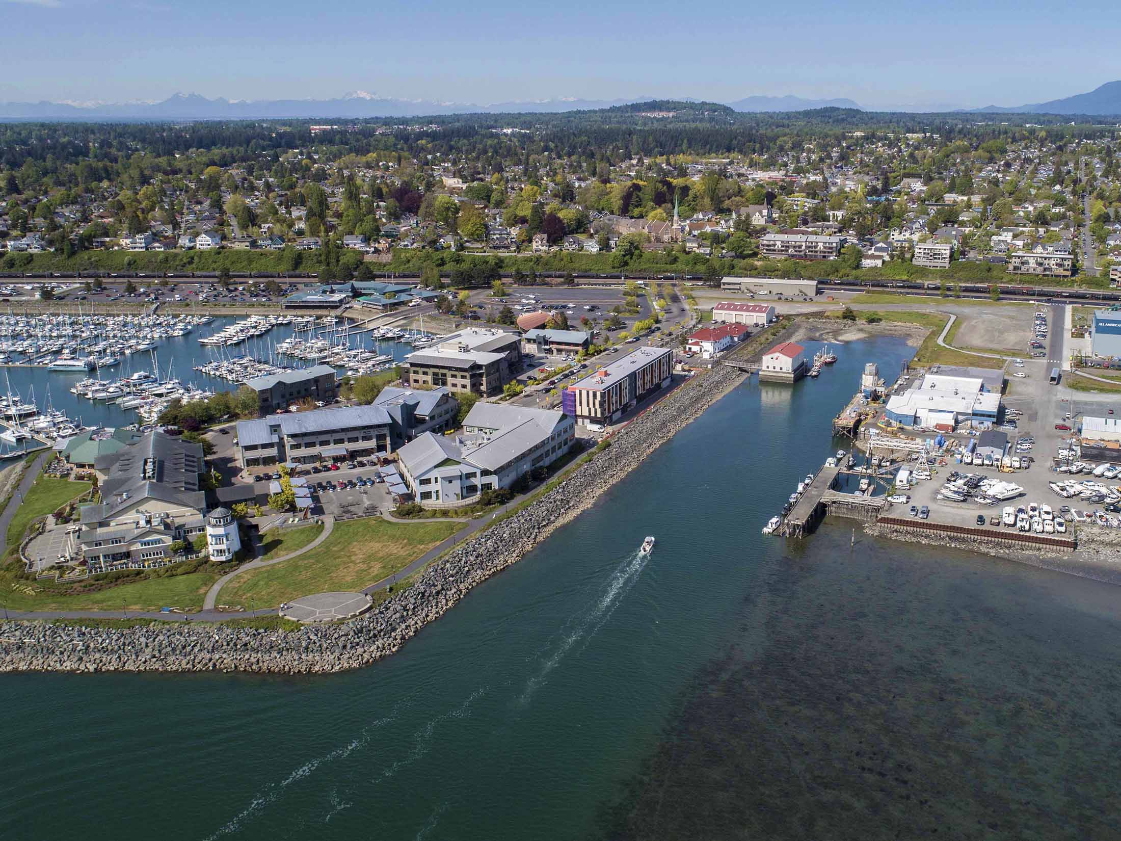
Cleaning up: New fieldwork begins on Bellingham waterfront
I & J Waterway on Bellingham Waterfront, May 2019
Won’t it be nice to see work in the field again?
During Washington’s stay home/stay safe order, fieldwork at many projects paused. This was a necessary balancing act of protecting people’s health and safety now while still needing to protect people and the environment in the future by cleaning up contaminated sites like the I & J Waterway site on Bellingham’s waterfront.
Good news! (And we all could use more of that.) The process of removing contaminated sediment from part of the I & J Waterway site will safely continue again.
Beginning now through early July, contractors will survey in-water and adjacent upland areas, sample in-water sediment and upland soil, and conduct other testing in a portion of the I & J Waterway site.
Where is this site in the cleanup process? And what happens next?
Steps in Washington's formal cleanup process.
The planned fieldwork, called a pre-remedial design investigation, will provide information to complete engineering design of a portion of the cleanup action selected by Ecology in 2019.
The Port of Bellingham and Bornstein Seafoods are conducting this fieldwork in accordance with an agreed order (legal agreement) with Ecology.
Once the engineering design step is completed next year, work will begin to remove contaminated sediment and replace an existing dock and bulkhead.
We sometimes need to do more investigations after finalizing cleanup action plans to better inform the engineering design such as this fieldwork. Each step of Washington’s formal cleanup process, guided by the Model Toxics Control Act (MTCA), further refines the final cleanup action.
What will I see happening on the Bellingham waterfront?
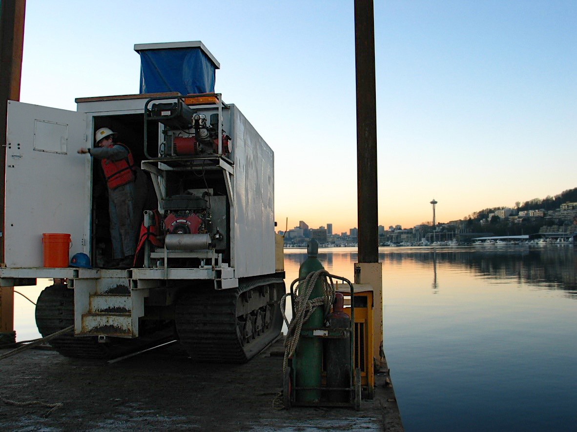
In-water survey
Multibeam lasers and a sonar scanner will map the depth and contours of the underwater surface and any underwater debris. This survey will be completed from a survey boat on the water with both scanners mounted on top of the boat.
Upland survey
A mobile laser scanner, also mounted to the survey boat, will map the upland area topography above high tide. Contractors will map the bank topography at low tide to tie the in-water and upland surveys together. A licensed surveyor will also locate and map the upland utilities.
In-water sediment sampling
CPT hydraulic drilling on a barge.
Six cone penetrometer tests (CPTs) will be conducted to evaluate underwater sediment. A CPT is an instrumented cone that’s pushed into the sediment at a controlled rate. Two CPTs will be under the Bornstein Seafoods dock, requiring cutting through the dock (which will be repaired following the work). Four additional CPTs will be distributed throughout the I & J Waterway. No samples will be collected from the CPTs since this test classifies the layers of underwater sediment based on resistance and friction.
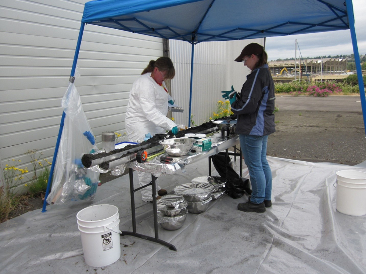
Example of vibracore sampling.
Nine vibracore samples will be collected to evaluate subsurface sediment. A vibracore is a hollow tube that’s vibrated into the sediment to collect a continuous sediment sample across varying depths. These samples will help determine the properties of the sediment layers as well as the depth of natural Nooksack River sediment deposits.
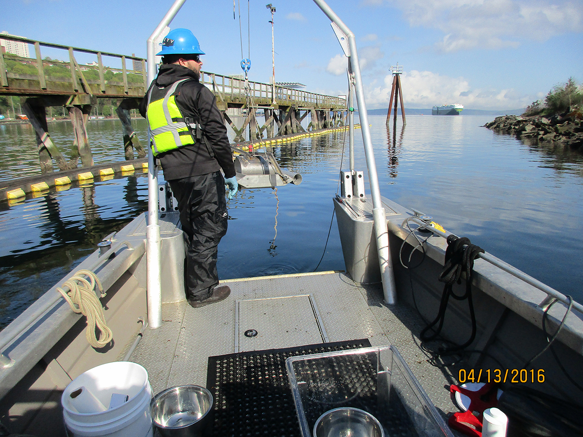
Four surface grab samples will be collected to evaluate the extent of contamination in surface sediment in an area of the site.
Surface grab sampling.
Soil sampling
Three boreholes will be drilled between the Bornstein Seafoods building and the dock to evaluate the physical properties of soil in this area.
Eligible for funding
Design activities are expected to cost about $1.1 million. The port and Bornstein Seafoods will incur this cost. The port is eligible for reimbursement of up to half of their cost from Ecology through the state’s Remedial Action Grant Program, which helps pay for the cleanup of publicly-owned sites. The Legislature funds the grant program with revenues from a tax on hazardous substances
Cleaning up Bellingham Bay
The I & J Waterway site is one of 12 Bellingham Bay cleanup sites coordinated through the Bellingham Bay Demonstration Pilot. The Pilot is a bay-wide multi-agency effort to clean up contaminated sediment, control sources of sediment contamination, and restore habitat, with consideration for land and water uses. In 2000, participants in this initiative developed the Bellingham Bay Comprehensive Strategy.