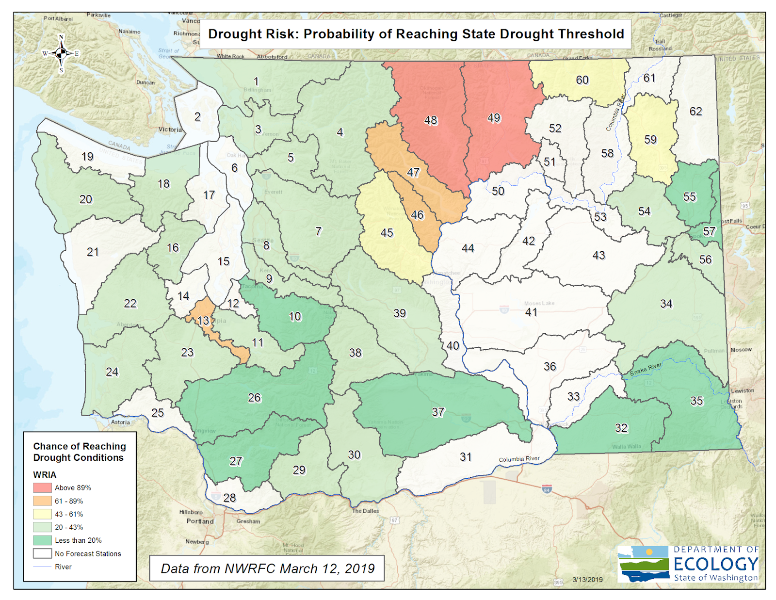
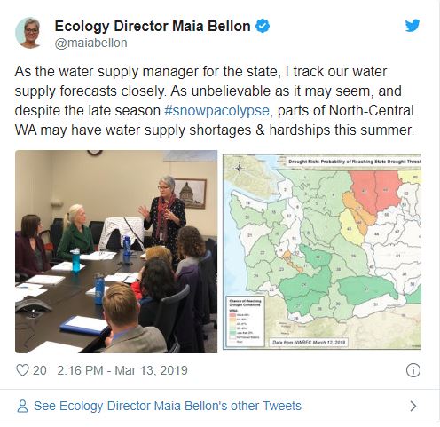
The Methow and Okanogan basins in North-Central Washington near the Canada border, are projected to experience some water supply shortages based on current snowpack levels, soil conditions, and climate predictions.
The committee will confer in the coming weeks to determine if any action is needed to help address hardships that could be felt by communities, farms or fisheries resources. State and federal experts will continue collecting data and updating the water supply forecasts and potential hardships
Snowpack conditions
At 87 percent of normal, statewide snowpack currently ranks 11th lowest out of the past 30 years. Compared to this time over the previous five years, snowpack is lower than in 2018, 2017, and 2016, but significantly higher than 2015, which was a record snow-drought.
Snowpack is deficient in the headwaters of the Methow and Okanogan watersheds, east of the North Cascades. River forecasts there indicate a high likelihood of below normal summer water conditions and the U.S. Drought Monitor has designated portions of Okanogan and Ferry County as being in Moderate Drought due to an extended precipitation deficit. Water supply forecasts for the Okanogan and Methow Rivers indicate a high probability that this year’s April – September runoff will be among the lowest recorded over the past 70 years.
Temperature
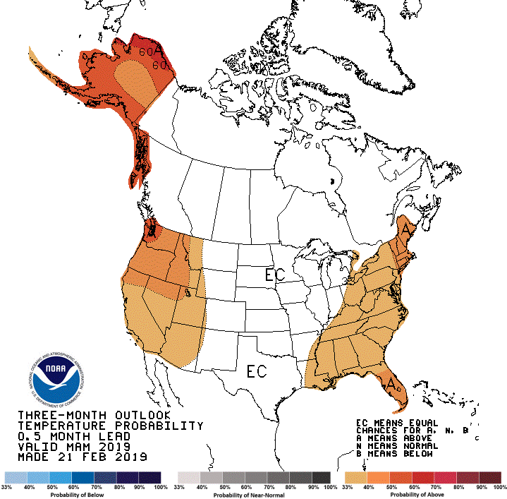
February was Washington's 5th coldest since 1895. Temperatures in Eastern Washington averaged between 10 and 15 degrees below normal, an anomaly described as “staggering” by the Office of Washington State Climatologist. Since the beginning of March, the anomalies have been even larger, with some locations recording average temperatures up to 20 degrees more below normal. Western Washington has been much colder than normal as well. Since the beginning of the month, temperatures have averaged 5 – 8 degrees below normal at lower elevations and 10 degrees below normal on the Western flank of the cascades.
Rivers and streams
Cold temperatures means snowpack is holding strong and not melting. Numerous rivers on the west side of the state are flowing at record low or near record low levels for this time of year. Seven-day average streamflow is below normal at 84 percent of the river stations managed by the United States Geologic Surveys.
Future forecasting
Our water supply expert Jeff Marti regularly updates Ecology’s water supply forecast. You can see the full recap of current conditions and forecasting on our website.


