

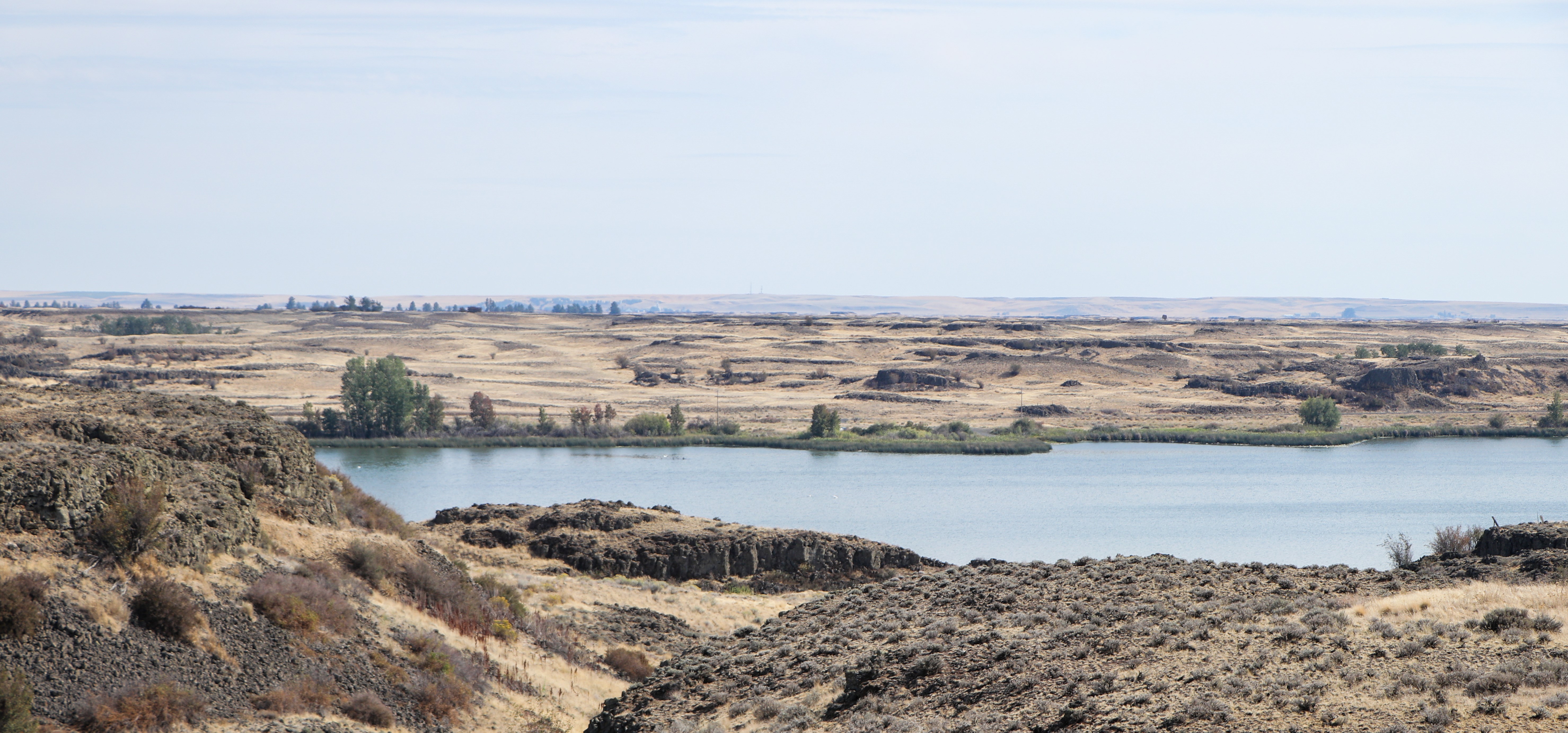
The challenges of high water and flooding around Sprague Lake are complex. To help unravel the issues and identify flood risk solutions, the state legislature directed funds to us, in partnership with Washington Department of Fish and Wildlife.
Now, an extensive new hydrology study over the past year, conducted by a private consulting firm, recommends focusing on flood preparedness planning, temporary flood-fighting techniques, zoning, and building code enforcement.
“We know how difficult recurring high-water levels and flooding have been for those around Sprague Lake,” said Brook Beeler, Ecology’s Eastern Region director. “The results and recommendations from this study provide a science-based path forward that will help the community be better prepared for future events.”
Results and recommendations
The hydrology study found that most of the rainwater carried by Sprague Lake’s main tributary, Negro Creek, goes underground, and only a small amount stays on the surface. Long periods of heavy rain or spring snowmelt are the main causes of high-water levels in the lake, which limits the lake’s capacity to accommodate additional flow from Negro Creek.
Because of this, the study looked at different ways to prevent flooding, including making Cow Creek wider or changing the piping infrastructure of a water-control structure located at the lake’s Cow Creek outlet. The study also explored bigger changes, like creating an 80-foot-wide channel or a bypass channel between the Sprague Lake outlet and Danekas Road.
Ultimately, the study found these options may not be effective enough to be worth the environmental impact or expense because the large-scale structural solutions are not anticipated to result in more than nominal improvements.
“As a manager of land on Sprague Lake, WDFW remains committed to working with the local community to find a solution to the flooding issue that has impacted the area,” said Brock Hoenes, regional director for WDFW’s North Central – Region 2.
The study recommends that to help protect property and infrastructure in the event of flooding, the City of Sprague and Lincoln and Adams counties (Sprague Lake straddles the county line) could instead further the strategies identified in the U.S. Army Corps of Engineers 2020 report, City of Sprague Nonstructural Flood Mitigation Assessment. These include:
- Flood preparedness planning
- Developing temporary flood fighting techniques
- Developing and enforcing local zoning and building codes that reduce flood risk
- Non-structural flood mitigation measures
Learn more at a community meeting
Staff from Ecology and WDFW will be on hand to provide details and answer questions about the study.
Date: Tuesday, Jan. 2, 2024
Time: 10-11 a.m.
Location: Lincoln County Fire Dist. 1, 124 Old Airport Road, Sprague Lake, WA
No registration is needed. Light refreshments will be provided.