

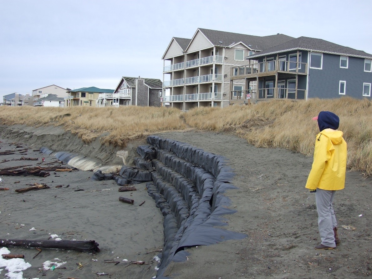
Coastal zone mapping & erosion monitoring
To better understand physical changes along Washington’s beaches, bluffs, and nearshore zones, our Coastal Monitoring & Analysis Program (CMAP) conducts research by mapping and monitoring Washington's marine coastline. CMAP provides the necessary data to manage erosion and flood hazards that threaten coastal homes and infrastructure. Local and tribal governments, state and federal agencies, and other policymakers use our data to make informed management decisions and put restoration and protection efforts in place.
Our staff provide a wide range of expertise in areas such as coastal engineering, coastal morphodynamics, geomorphology, coastal hazards and flooding, shoreline change, surveying, remote sensing, geographical information systems (GIS), cartography, and global positioning systems (GPS). We strive to maintain an unbiased, scientifically-based knowledge foundation to enhance decision-making for coastal projects and planning.
As sea levels rise and storm events become more destructive, it is becoming increasingly more important to have a complete understanding of the mechanisms that shape our shorelines. Building and maintaining a scientific knowledge base is the first step to ensure effective responses to the challenges Washington’s coastal areas are now facing.
Funding Ecology's coastal monitoring efforts
We are always looking for new sponsors and projects to map Washington's coastlines. Contact us for more information about hiring our expertise for collecting field information, carrying out comprehensive coastal mapping, or developing assessments, data products, or reports.
Funding for our work has been provided by:
- National Oceanic and Atmospheric Administration
- U.S. Army Corps of Engineers
- Northwest Association of Networked Ocean Observing Systems
- U.S. Geological Survey
- Washington Department of Natural Resources
- U.S. Environmental Protection Agency
- Washington Department of Fish & Wildlife
- Estuary and Salmon Restoration Program
- Federal Emergency Management Agency
- Washington Recreation and Conservation Office
- Washington State Parks and Recreation Commission
- Washington Department of Commerce
- National Park Service
Related links
Contact information
George Kaminsky, PhD, PE
Coastal Engineer
george.kaminsky@ecy.wa.gov
360-407-6797