

Watershed health sampling sites
For this study we sample two groupings of sites, randomly selected sites and hand-picked reference sites. Random sites give us a broad view of regional and statewide trends, while reference sites help set a baseline for healthy stream conditions.
Random sites help estimate regional conditions and trends
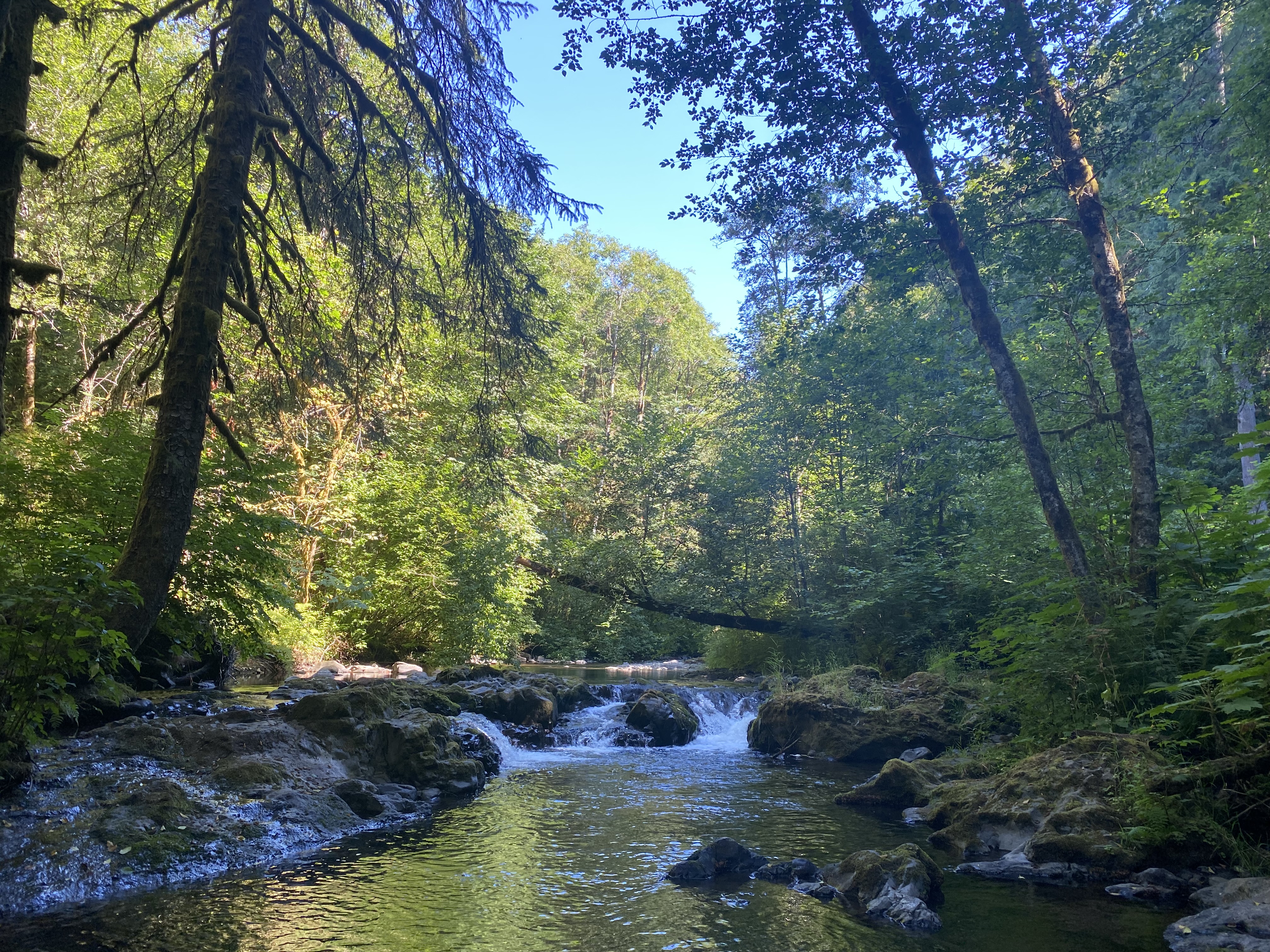
The network of streams we monitor are naturally formed, freshwater, and flow year-round. Between 2009 and 2024, we sampled 735 randomly selected unique stream locations. We did not sample random sites in 2020.
Of the 735 randomly selected stream locations, 176 have been sampled a second time during a different year in order to compare results over time and to see if regional conditions decline or improve.
Randomly selected site locations and sample dates.
Reference sites give context to random sites
We've handpicked 121 reference locations, so far, to represent least-disturbed conditions among three large-scale reference regions in the state. Sixteen of these sites, called the sentinel sites, coded SEN and indicated in the map below by white circles, are sampled annually and help us to estimate large-scale environmental trends. Our other grouping, the reference or ambient biological monitoring sites, are coded BIO and indicated by blue circles. We visit these sites every three to four years.
These least-disturbed sites are chosen in locations where future disturbance is unlikely, however there have been disturbances to a handful of sites causing unrepresentative reference conditions or unsafe sampling conditions. These removed sites are no longer sampled and indicated by black diamonds on the map below.
All reference sites help us define what is "healthy." Continuing to sample these minimally impacted sites will allow us to maintain accurate standards of stream health.
Reference sites include sentinel sites and bioassessment sites.
Curious about results from a specific stream?
Contact information
Edward Krynak
Watershed Health Monitoring Lead
edward.krynak@ecy.wa.gov
360-742-1581