

Watershed health sampling schedules
To obtain statewide trends, we rotate between eight Status and Trends Regions. Within each region, randomly selected sites are used to represent the selected area of the state.
New focus sheet for Snake River Region 2025
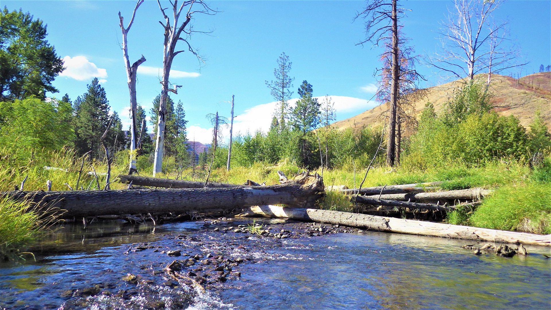
This summer, our crews will sample 50 randomly selected sites in the Snake River Region. To learn more about our 2025 sampling plans, take a look at our focus sheet: Watershed Health Monitoring 2025 — Snake River Region.
Regional rotation
Each year we sample randomly selected sites in one of the eight Status and Trends Regions. This rotation allows us to complete an extensive protocol for the required number of sites in each region. We are looking forward to completing the third round of sampling in 2028 and reviewing data from three statewide rotations!
The regional rotation schedule is shown below.
| Status and Trends Monitoring Regions | Round 1 | Round 2 | Round 3 |
| Puget Sound | 2009 | 2013 | 2021 |
| Coastal | 2010 | 2014 | 2022 |
| Lower Columbia River | 2010 | 2014 | 2023 |
| Mid Columbia | 2011 | 2015 | 2024 |
| Snake River | 2011 | 2016 | 2025 |
| Upper Columbia | 2012 | 2017 | 2026 |
| Northeast Washington | 2012 | 2018 | 2027 |
| Unlisted Washington | 2010 | 2019 | 2028 |
Candidate sampling sites
We use a "master sample" of 547,877 statistically selected points from the Pacific Northwest Hydrologic Region. These can be used for conducting unbiased surveys at various scales, including statewide or by region.
Each year, we evaluate the master sample within the next scheduled region. Using maps and other research, we evaluate each site on the list and reject sites that do not fit sample-design criteria as described in our protocols.
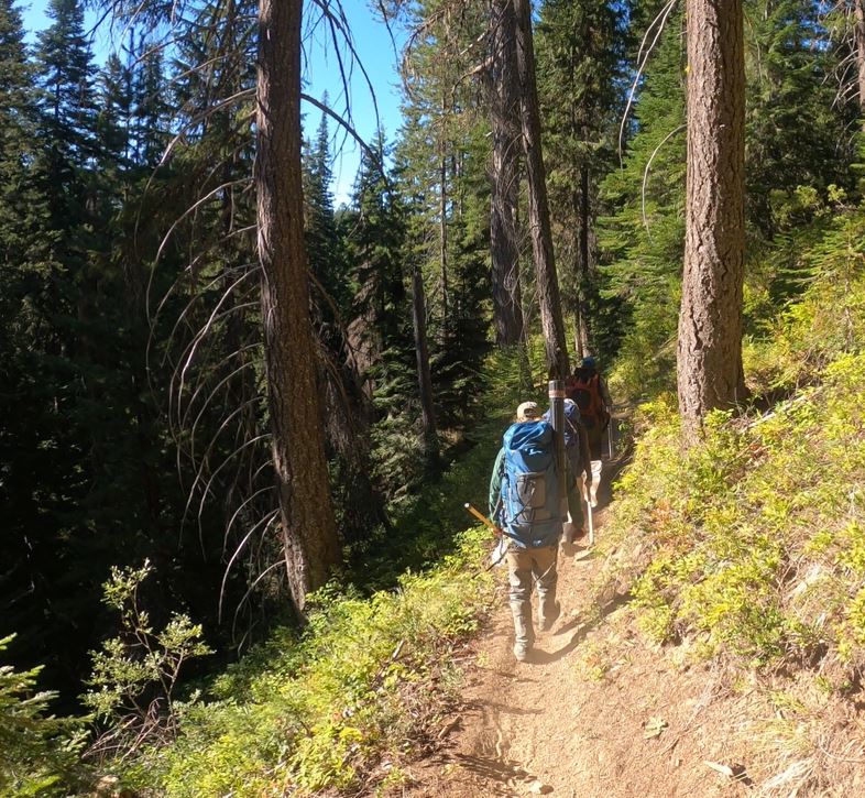
This is a multi-step process that starts with screening out sites on federal lands and tribal reservations. Crews sample 50 sites in most regions and only 30 sites in the Unlisted Region.
Candidate sites are organized by Strahler stream order size, a method based on how many tributaries enter a stream. We seek to sample 50 sites in 2025, with 10 sites in each of five size classes. Streams are ordered by size ranging from category one, small headwater streams, to category five, large streams and rivers. We will be updating our list of candidate sites for 2025 on this page soon.
(Sites are only accessed with permission of the landowners.)
Contact information
Edward Krynak
Watershed Health Monitoring Lead
edward.krynak@ecy.wa.gov
360-742-1581