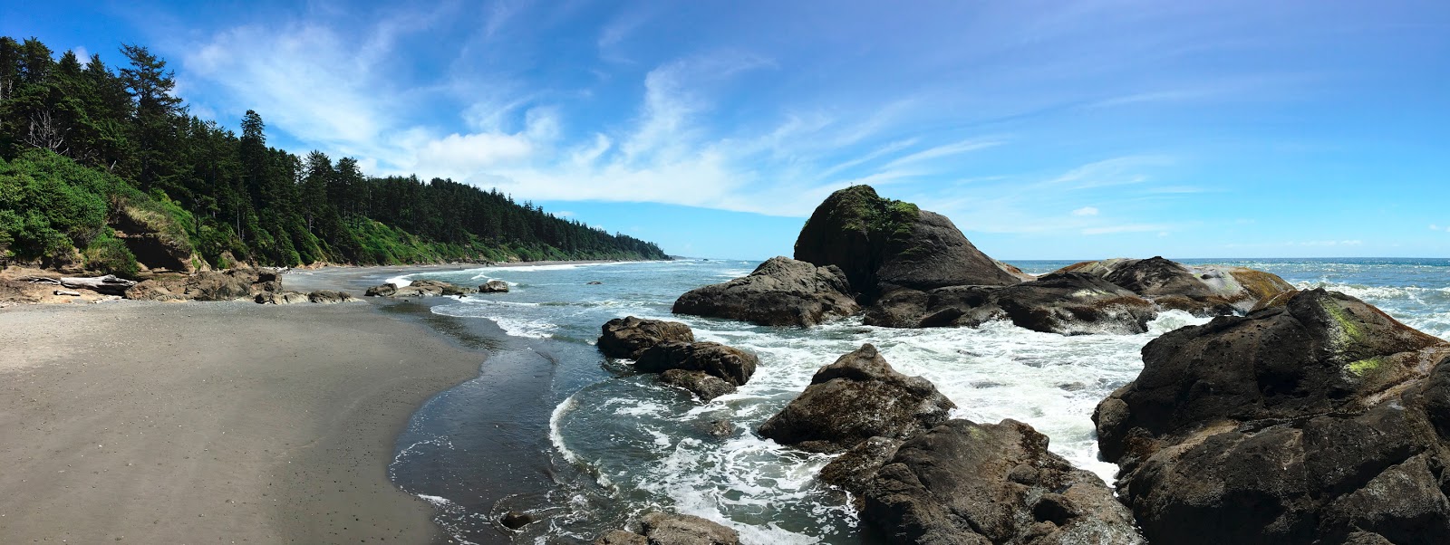
Ruby Beach on Washington's Pacific coast.
Together, these four jurisdictions account for 331,000 acres of marine waters and have 157 miles of open ocean coastline. Coastal communities and coastal Indian tribes have a rich history and maintain a unique relationship to coastal resources.
Yet, there are increasing demands on these resources — including new projects and uses that can potentially create conflicts with uses or damage marine resources.
State develops, adopts marine spatial plan
To ensure Washington maintains a resilient, healthy coastal marine ecosystem, we worked closely with our partners at the Washington departments of Fish and Wildlife and Natural Resources (DNR) to adopt a new tool — called a “marine spatial plan” — to help make coordinated, science-based decisions about proposed new ocean projects and uses.
The guidance establishes processes for coordinating among local and tribal governments and state and federal agencies and for ensuring interest groups and the public have opportunities to weigh in on future projects.
Since the plan contains new policies to protect sensitive ecological areas and fisheries, the plan also puts the state in a strong position to review and shape new ocean activities in areas of state and federal waters in the plan's study area.
The state worked closely with local and tribal governments, other state agencies, the Washington Coastal Marine Advisory Council, environmental and planning groups, the private sector, and the public to develop the plan.
Plan will help evaluate new ocean projects, uses
The new guidance will help us evaluate new proposals seeking to be located between Cape Flattery and Cape Disappointment. The plan covers a patch of the Pacific nearly 6,000 square nautical miles in size.
Right now, most of the ocean uses in Washington center on recreation, maritime shipping, coastal fishing, and shellfish aquaculture. But we know we have to be ready to effectively assess proposals for new uses and activities such as:
- Renewable energy
- Mining
- Dredged material disposal
- Marine product harvesting
- Offshore aquaculture operations
Our marine spatial plan builds on a 2010 law passed by the state legislature. Six years in the making, the new plan outlines the data and information that are needed to evaluate new proposals — especially the potential effects new ocean uses could have on people, our local communities, and the environment.
It also integrates existing state policies and standards that projects must satisfy, such as demonstrating that projects have no likely, long-term significant adverse impacts to resources or uses.
Competition for small fraction of ocean ecosystem
Michele Culver, Intergovernmental Ocean Policy Manager for state Fish and Wildlife said “while the ocean is a vast ecosystem, there is competition to use a small fraction of it”.
The plan, Culver said, provides a way for the state to carefully consider the placement of proposed new uses and the effects on other important activities, such as fishing, that occur in the same area.
While the plan establishes protections for fisheries and ecologically sensitive areas in state waters, it doesn’t change current management or permit processes for existing marine activities such as fisheries management plans or shellfish aquaculture.
Before we adopted the guidance, the state sought and received comments on the draft plan and a related environmental impact statement which helped us evaluate anticipated impacts that could arise from adopting the plan.
We carefully assessed all the comments we received and they helped us refine the plan. We will submit the marine spatial plan as part of Washington’s federally-approved Coastal Zone Management Program.
Get involved and stay current on marine spatial planning
The new state marine spatial plan creates an inclusive decision-making process that carefully considers economic, social, ecological, and cultural interests and gives all users an avenue for having input on the most appropriate strategies to guide and evaluate future uses of Pacific Ocean waters.
Everyone can keep tabs and get involved in marine spatial planning in Washington.


