

By the end of the last Water Supply Availability Committee meeting on February 13, snow was falling! According to experts, it's still too early to tell if the snowpack accumulated is enough to lift the drought declaration by spring.
The Water Supply Availability Committee is a group of experts from various state and federal agencies who meet monthly to discuss conditions affecting Washington’s water supply. According to these experts, we really need more snow and we’re probably not going to get it. Unfortunately, even if we see more snow, it still might not stick around long enough to positively impact current drought conditions.
January began with a lot of precipitation, but the weather patterns changed. The month ended with an abnormally long dry spell with little to no precipitation across the state. Many areas recorded their driest January on record. Overall, January was the 5th driest on record according to the Washington State Climate Office.
Temperatures
Water Year 2025 temperatures have been above normal, tying for the 18th warmest October through January period on record. Precipitation has been below normal across Western Washington and above normal across the Eastern half of the state. Forecasts still indicate higher chances of below normal temperatures and above normal precipitation for February and into the spring.
La Niña is still weak but expected to stick around through spring. We’re likely to switch to neutral conditions between March and May.
Snowpack
The U.S. Department of Agriculture Natural Resources Conservation Service reported the statewide snowpack at 87% of normal as of February 13. Precipitation for the Water Year to date is currently at 80% of normal (since October 1, 2024). Snowpack conditions worsened because of the long dry spell and warmer than average temperatures.
- Snow Water Equivalent (SWE), a measurement for snowpack, stayed near normal in the Southern Cascade Mountains and a few spots in the Northeast thanks to above average snowpack at the beginning of the month. Decreases in percent of median snowpack were still large.
- SWE in the Upper and Lower Yakima basins is at 86% and 82% respectively. While those numbers may not seem alarming, back-to-back droughts and reservoir storage at 32% of normal have generated concerns about water supply in the Yakima area.
- SWE fell to around 70-80% of median in the North Cascades and almost 60% in the Central Cascades.
Precipitation
Precipitation was below normal across most of the state in January and early February.
- The Northern and Central Cascades and Olympic Peninsula only received 30% or less of their normal precipitation.
- Spokane and the Tri Cities had near-normal precipitation.
- The Eastern side of Washington is looking slightly more optimistic than the West. Precipitation is less than average since October. January and February have been cold and dry. Runoff since October has been largely below normal.
- The Yakima reservoir system, run by the federal Bureau of Reclamation, is the lowest since 1971 at 34% full. This very low storage is concerning for drought recovery for the Yakima Basin. With this low storage level, the Yakima area would need above average snowpack to reach drought recovery.
Drought
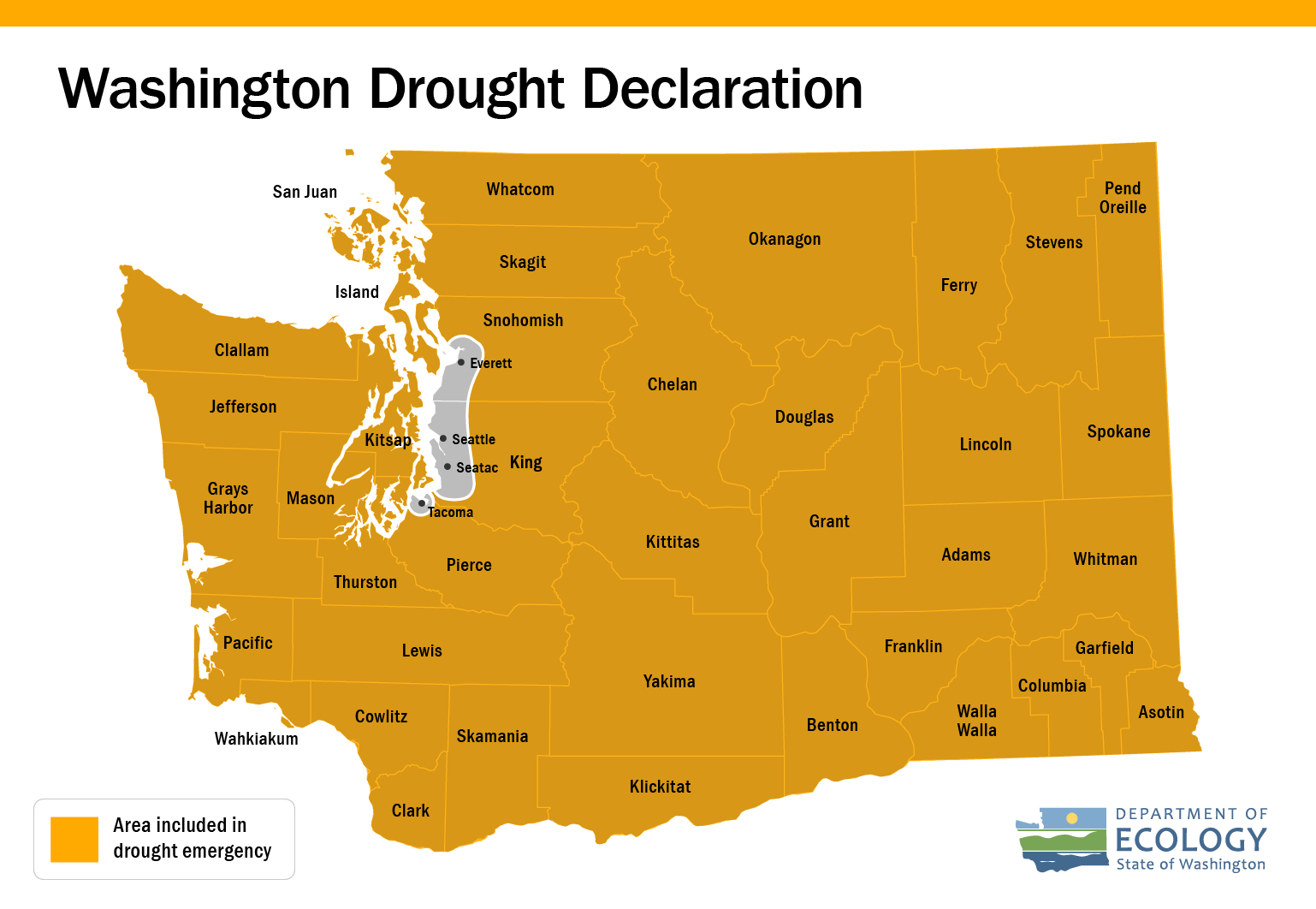
The 2024 drought declaration is currently in place until April 2025. Ecology will continue to evaluate conditions throughout the winter and monitor for evidence of drought recovery.
Drought response funding remains open. Grant applications this winter must be to address continued drought impacts to the water supply from 2024 drought conditions.