




Assessing contaminated sites
Contaminated sites vary greatly in complexity and risk, from small spills of oil in a backyard to former industrial sites covering many acres with a large mix of chemical contaminants. They may be in an isolated area or a large city, and the contamination might be fairly contained or in danger of spreading. Rating sites helps us assess potential impacts to Washington communities and can help us direct our cleanup work and resources.
Improving how we assess contaminated sites

We’ve developed a new way to assess contaminated sites, called the site hazard assessment and rating process, or SHARP. This process is replacing the outdated Washington Ranking Method, called WARM, developed in 1992. The new process will help us identify those sites that pose the greatest chemical exposure risks to people and other living things.
To support this, we’ve developed the SHARP tool. The interactive tool walks reviewers through a series of questions and calculates scores. Since it may have a broad impact on our decision-making and resources that support cleanups, we invited public comment on this internal tool.
Understanding SHARP scores
The SHARP tool asks a series of questions about a contaminated site, then uses the answers to score the potential contamination exposure and its severity in soil, groundwater, surface water, sediment, and indoor air. We use these scores to calculate a rating.The scores, rating, and other information about the site are displayed in a text report and a graphic summary.
Scores for soil, groundwater, surface water, sediment, and indoor air
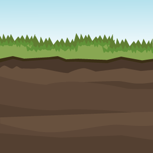
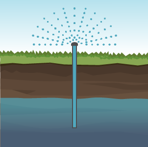

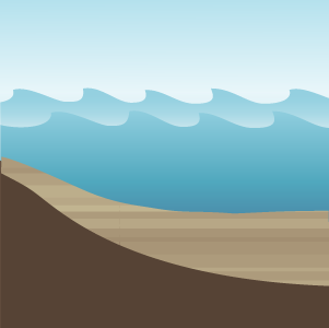
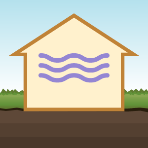
Each of these environmental media — soil, groundwater, surface water, sediment, and indoor air — is a different way living things might be exposed to contamination. Tracking them separately gives us the ability to focus on particular issues, like healthy drinking water. It also gives us a better picture of the site.
-
Exposure
The exposure score answers the question, “How likely are people or other living things to be exposed to the contamination at this site?” It’s graded A to D, where A means “there is a known exposure happening right now,” and D means “there’s no likely way for people or other living things to be exposed to this contamination.” -
Severity
The severity score is an estimate of how risky an exposure would be if people or other living things were exposed. It’s estimated on a scale of 1 to 4, where 1 is the most severe and 4 is the least.
More than just scores
These five media scores give us a picture of what and where contamination is at a site, but they’re not the only information included in a SHARP report.
-
Confidence: rating how much we know
Often, our initial information about a site is very limited. For instance, we might know of a chemical barrel spill on soil but might not know what the chemical was. The SHARP reports include confidence scores to show where we might need more information. -
Context: seeing a bigger picture
SHARP also alerts us to factors that aren’t part of scoring, including the socioeconomic information about local communities, other pollution issues, and whether a site is likely to be flooded. This information comes from tools maintained by government agencies, like the Department of Health’s Washington Environmental Health Disparities map.
Overall site rating
We combine the five exposure/severity scores (one each for soil, groundwater, surface water, sediment, and indoor air) into an over-all site rating. This rating will give an at-a-glance estimate of a site’s risk, which is helpful when planning cleanups.
How we got here
Over the past few years, we looked at ways to improve our site hazard assessment process and decided it was time to replace WARM. This decision was written into the proposed amendments to the Model Toxics Control Act (MTCA) Cleanup Rule.
While our team did the early heavy lifting for SHARP, we would like to acknowledge the valued input from the members of the Stakeholder and Tribal Advisory Group who offered their comments and guidance during SHARP tool development.
Related links
Contact information
Meredith Bee
Contaminated Site Assessor
Meredith.Bee@ecy.wa.gov
360-995-3252