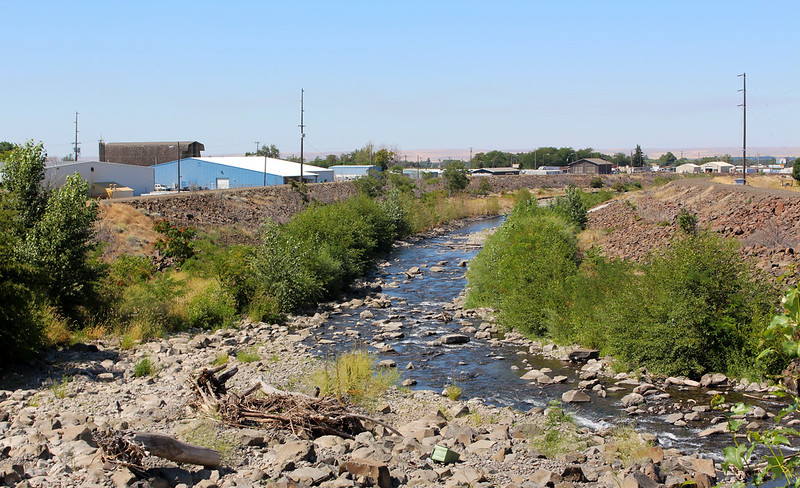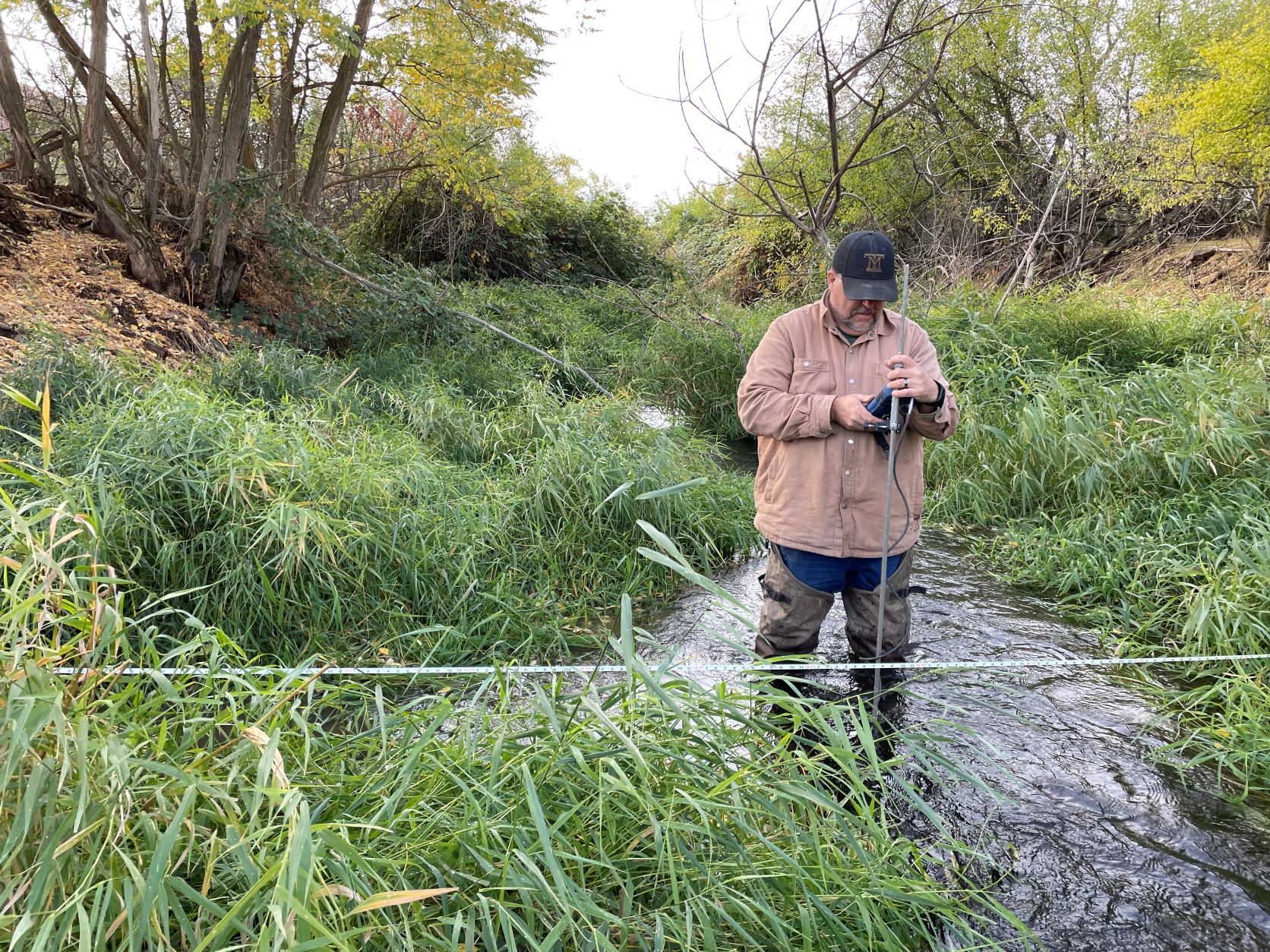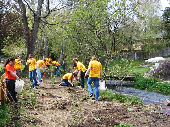
The Walla Walla watershed is unique because it crosses the border between Oregon and Washington. This basin's rivers and streams flow through both states. The watershed is chronically short on water. It is bordered by the Columbia and Snake rivers and relies mostly on rain and snowpack from the Blue Mountains. State government, local agencies, and the Confederated Tribes of the Umatilla Indian Reservation are working to find water supply solutions in the area. The Walla Walla Water 2050 strategic plan initiative is before the Legislature this session.
An overallocated basin
The basin has been overallocated for more than 100 years — meaning there are more legal rights to use water than there is water available. For water to be physically available, groundwater or surface water must be consistently present in quantities and quality to provide a reasonably reliable source for use. As the effects of climate change manifest, streamflows and water availability will continue to decrease.
The Walla Walla River literally runs dry. This creates a barrier to restoring endangered spring Chinook salmon and steelhead. Not only is it a barrier to fish, but water users are also prevented from using their water rights for irrigation because there isn’t enough water to go around.
Proposed legislation
Proposed legislation for the current session, HB 1322 / SB 5384, would create the authority for us to implement the Walla Walla Water 2050 plan. The water-management plan supports projects to benefit water supplies for instream and out-of-stream uses and provides a framework for funding projects. It also directs the department to work with the State of Oregon and the Confederated Tribes of the Umatilla Indian Reservation to come up with recommendations for a bi-state governance structure. It opens opportunities to work with Oregon to implement projects and increase streamflow between states.
Climate change
Orchards, alfalfa seed, onions, and wine grapes are the backbone of the basin’s irrigated agriculture industry. The area is a major destination for wine and arts tourism. All of this is threatened by the effects of climate change.
Snowpack is crucial to streamflow. It stores precipitation in the winter and releases it in the spring and early summer. Because there is little rain in summer, snowmelt is critical to maintaining water supply for people, businesses, farms, and streamflows to support salmon and other aquatic species.
Dwindling streamflow and increasing hot weather are raising water temperatures. This makes salmon migration difficult as they come up the Columbia and Snake rivers and into the basin’s tributaries.
The Walla Walla basin is predicted to experience one of the largest declines in snowpack in the Pacific Northwest. The Walla Walla River is expected to decrease by up to 66 percent by the 2040s and as much as 89 percent by the 2080s. This would hold dire consequences to the people, farms, and fish in the basin.
There is too much water in the winter and too little in the summer and fall. Wildfires and floods, on the increase because of climate change, change the landscape and affect water availability in the basin. More frequent wildfires and increased flooding affect water quality, too. These extreme fluctuations create the perfect storm to damage habitat and impede streamflow.
Building resilience
We can adapt and offset some of the challenges that come with climate change. Years of hard work and collaboration have gone into developing the Walla Walla Water 2050 strategic plan. The plan outlines, in detail, ways to approach the water-availability challenges of the Walla Walla basin.
Passage of HB 1322 / SB 5384 will put projects in motion to lead the Walla Walla basin to build and restore water resources for generations to come. This legislation will formalize Washington’s commitment to chart a pathway for climate resiliency, improve instream flows, and provide reliable water supplies for people, farms, and fish through 2050 and beyond.


