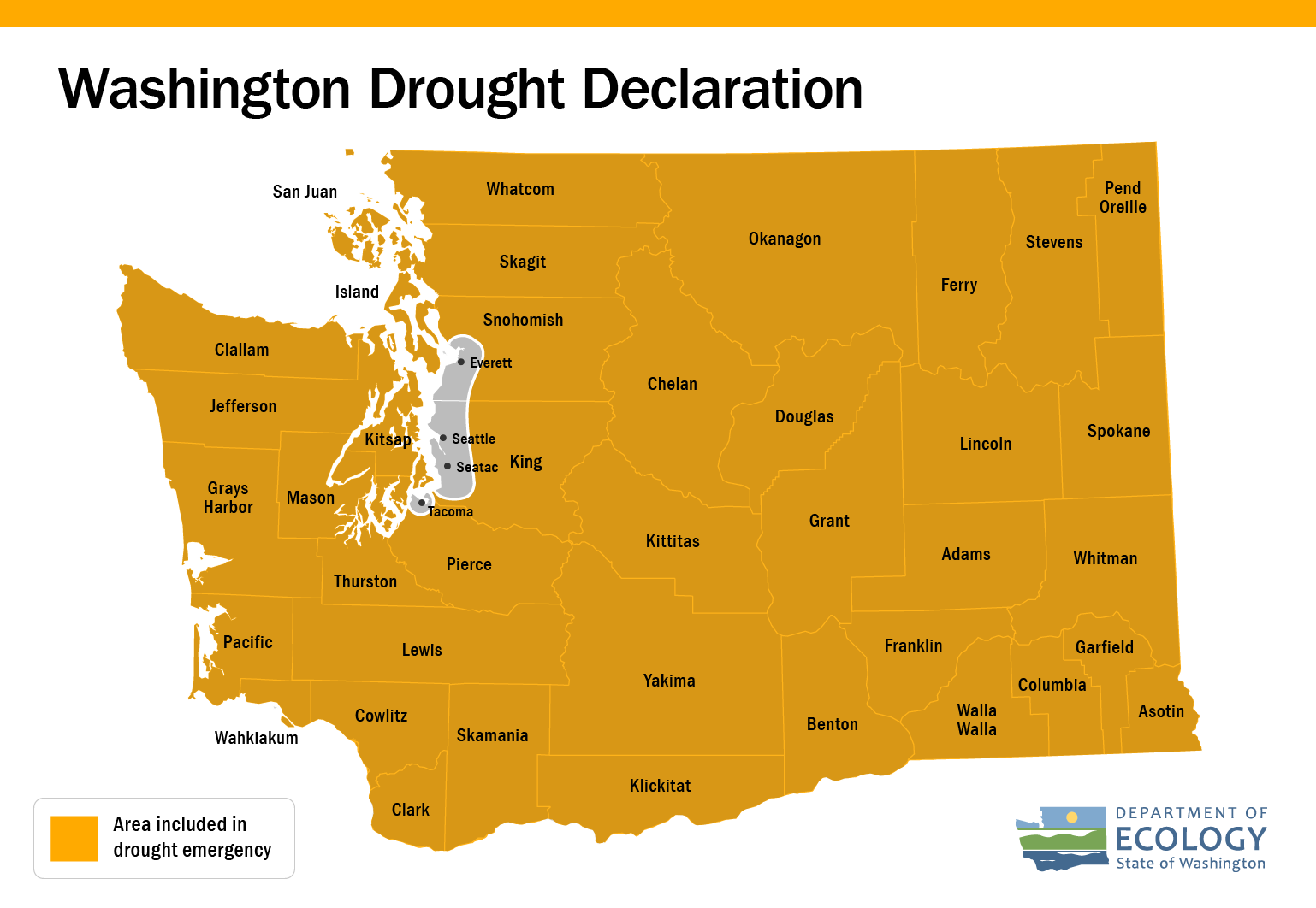
An atmospheric river in early June raised the hopes for relief of dry conditions across the state. Unfortunately, it wasn’t enough to make much of a difference.
Because of our low winter snowpack and our already disappointing soil moisture, instream flows continue to deteriorate at a steady pace as we head into the driest time of the year.
What the experts are saying
May was cooler (1.5 degrees below average) and drier (86% of average) than normal statewide. Despite the cooler temperatures, much of the state’s snowpack has already melted, and streamflows have been dropping in rivers in response to the low rainfall and early snowpack melt.
On Wednesday, June 26, the State’s Water Supply Availability Committee (WSAC) met to discuss current conditions and forecasts. Key takeaways from the meeting include:
- Most of the driest areas are in Central and Eastern Washington, as well as the Northern Olympic Peninsula.
- June’s atmospheric river brought higher than normal precipitation in early June, but it did not change the low runoff and water volume forecasts. Forecasts are still lower than normal and are at or near record low in many places.
- The 2024 water year (October through May so far) is the 23rd warmest and 43rd driest on record).
- While some parts of Western Washington have seen slight improvement in soil moisture and stream flows, conditions are deteriorating rapidly across the state.
- Forecasts indicate warmer and drier than normal conditions from July to September, particularly in Central and Eastern Washington. Predictions show that temperatures won’t be as hot as expected in earlier forecasts, but water runoff and precipitation predictions east of the Cascades and in the Olympic Basin are still very low.
“We continue to see low runoff and low seasonal volume forecasts,” said Amy Burke from the Northwest River Forecast Center during the WSAC. “Runoff and water supply forecasts remain lower than normal, with water supply forecasts near record low in many places.”
Several basins have near record low forecasts for the rest of the April-September period (based on 75 years of historical data, 1949-2023):
- Olympic Basin – Dungeness, Elwha and Skokomish are forecasted to be at the fourth, sixth, and third driest on record.
- Skagit – Skagit forecasted to be the third lowest in multiple sites and Thunder Creek at first driest.
- Yakima – Yakima and Cle Elum forecasted to be eighth and fourth driest.
- Columbia – Multiple sites forecasted to be fourth driest.
- Okanogan – Fourth driest.
A recording of the meeting is available on the WSAC web page.
Drought impacts
We declared drought for most of the state April 16. While drought impacts are often hard to measure until after the event has ended, some effects are already apparent.
- Roza Irrigation District has applied for and received funds for multiple leases to transfer water to extend availability for irrigators.
- Many Yakima irrigators are slated to receive 51% of their normal allotment of water.
- There are anticipated hardships for fish and hatcheries due to low streamflows and warmer than normal forecasts.
Drought Response Grants are still available
We continue receiving applications for Drought Response Grants from a range of different public entities working to mitigate drought impacts across the state. These include irrigation districts, and cities and public water systems, among others. These Drought Response Grants help address drought hardships to fish and instream flows, public water systems and agricultural or livestock needs.
“The April drought declaration enabled folks to start thinking about options to mitigate drought impacts for this summer and make best use of relief options,” says Caroline Mellor, Ecology’s statewide drought lead.
More information is available on the Drought Response Grants webpage.

