

Nature doesn’t much care about lines on a map.
Take the Walla Walla River Basin, a 1,700 square-mile watershed that straddles the invisible boundary between Southeast Washington and Northeast Oregon.
Both sides of the border have seen a steady decline in available water, especially during peak summertime demand. And while both states have taken steps to solve the issue over the past several years, water levels continue to deteriorate.
“Oregon has done a lot of work on the Oregon side, Washington has done quite a bit of work on the Washington side, but now it's time for us to really come together and manage the basin in a way that's whole,” said Brook Beeler, Washington Department of Ecology’s Eastern Regional Director.
In 2017, the Oregon Water Resources Department (OWRD) stopped issuing new groundwater permits in the basin, which was designated a Serious Water Management Problem Area.
“We were experiencing some pretty significant declines, especially in the basalt aquifer, so we put a stop on future appropriations to understand what was happening to the system and what’s driving those declines,” explained Chris Kowitz, OWRD North Central Regional Manager.
Watershed technician Luke Adams with the Walla Walla Watershed Basin Council takes measurements near the Walla Walla River.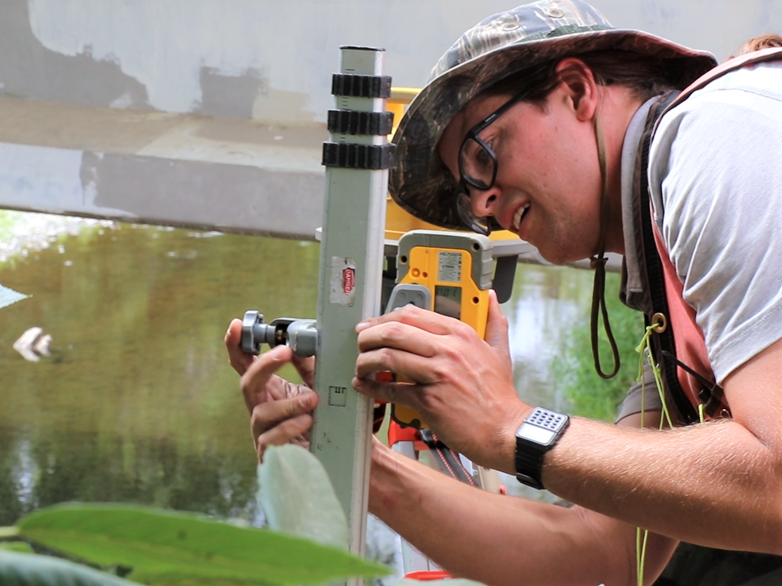
Ecology has since helped start the Walla Walla Water 2050 initiative, to renew and extend involvement from a bi-state collection of agriculture and environmental interest groups, as well as local, state, tribal, and federal governments.
And now, both states are working with the United States Geological Survey to better their understanding of how groundwater and surface water interact in the basin, giving policy makers a solid scientific foundation to stand on for future decision making.
While groups such as the Walla Walla Basin Watershed Council have been studying the system in a segmented way, this is the first comprehensive study of its kind in the basin.
“It makes a lot of sense to do this at a basin scale instead of at a state boundary line,” said Kowitz. “That surface water, groundwater interaction piece is important, because that can tell us how different drivers like agricultural use and municipal uses may be impacting the groundwater levels over time.”
In order to find sustainable solutions to meet current and future water demand in the basin, interests on both sides of the state line will need to take a cue from nature and put boundaries aside.
“Whether it's a homeowner or a landowner or an irrigator from shallow aquifers on the Oregon side, or a deep basalt groundwater well on the Washington side, we need to have everyone at the table sharing what it is they want to see in the future for their watershed so that we can make a plan that hits all the targets and meets all the goals for fish, farms, and for people,” Beeler said.
Paul Word, a water resources technician with the Confederated Tribes of the Umatilla Indian Reservation, measures the flow of Birch Creek, near the Washington/Oregon border.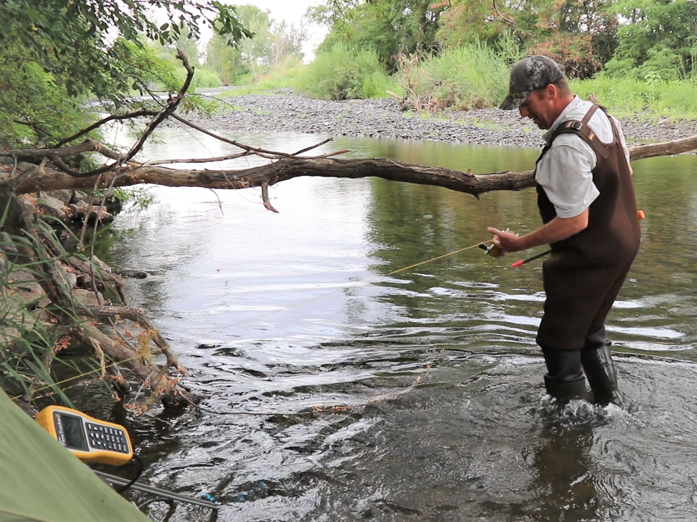
Learn more about our work in the Walla Walla River basin:
• Walla Walla 2050 - Washington Department of Ecology page