

Overall, it’s been a warm wet winter. Despite an early January cold snap, the water supply outlook for much of the state can be characterized by two words “below normal,” according to a group of experts who recently gathered for the first Water Supply Availability Committee Meeting of 2024.
WSAC meetings typically drive water supply updates. The one that took place on Jan. 24 was the first time one of the meetings has been recording. Clips have been included in this blog. Or you can watch the full meeting.
The drought emergency declared for 12 watersheds in July last year is still in effect and set to expire June 30. The statewide drought advisory declared in June is also still in effect.
A drought advisory may be issued ahead of a drought emergency when it appears that drought conditions may develop. Drought advisories are typically informational only. In this case, the advisory is still in effect because there is reason to believe the current drought conditions will continue or possibly worsen.
“Even folks who are not in a declared drought area right now, should begin preparing for a dry spring,” said Ecology’s Statewide Drought Lead, Caroline Mellor.
A dry start to the water year
Deputy State Climatologist Karin Bumbaco describes conditions contributing to Washington's water supply forecast.
October through December, the first quarter of the water year, is tied with 1933 as the sixth driest in Washington history. December 2023 was the third warmest December on record for Washington state.
Statewide precipitation was 113 percent of normal for December, but warm temperatures resulted in much of it falling as rain instead of snow, leaving the state with much below normal snowpack.
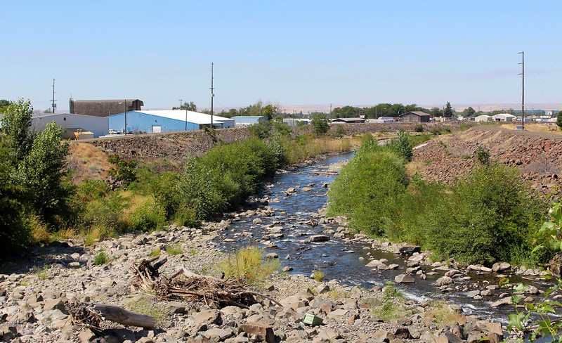
Snowpack is important because much of the state’s water is stored as snow as opposed to behind dams. A poor snowpack means less water is available for people, farms and fish in the warm spring and summer months when it’s most needed.
The cold snap in the first three weeks of January improved conditions a significant improvement in snowpack, but not enough to get the state back to normal.
By the early January the state typically has about 40 percent of it’s annual snowpack. Statewide snowpack as of January 26 was about 78 percent of norma, with some areas, such as the Olympic Mountains at 48 percent of normal.
El Nino is here to stay
Matt Warbritton, supervisory hydrologist from the U.S. Department of Agriculture describes snowpack conditions in Washington.
Deputy State Climatologist Karin Bumbaco said she is confident El Nino conditions will persist through spring, meaning we can expect temperatures to remain high compared to seasonal norms.
According to her presentation at a monthly meeting of the state’s Water Supply Advisory Committee, the Olympic Mountains and the Northern Cascades are still in a snow drought. The Upper Yakima and Lower Columbia have close to normal snowpack. The rest of the state has below normal snowpack.
The lack of snow isn’t the only thing affecting the water supply outlook. Soil moisture throughout the state is generally dry, which will affect the efficiency of snowmelt as it becomes runoff. It will soak into dry soil before it gets to the streams. Consequently, streamflow forecast are below normal for late spring and summer.
“Now is the time for water users to start making plans for a dry spring,” Mellor said. “Start thinking about your seasonal water rights transfers because there’s no reason to believe drought conditions will end soon.”
National River Forecast Center Hydrologist Amy Burke talks about streamflow conditions in Washington.