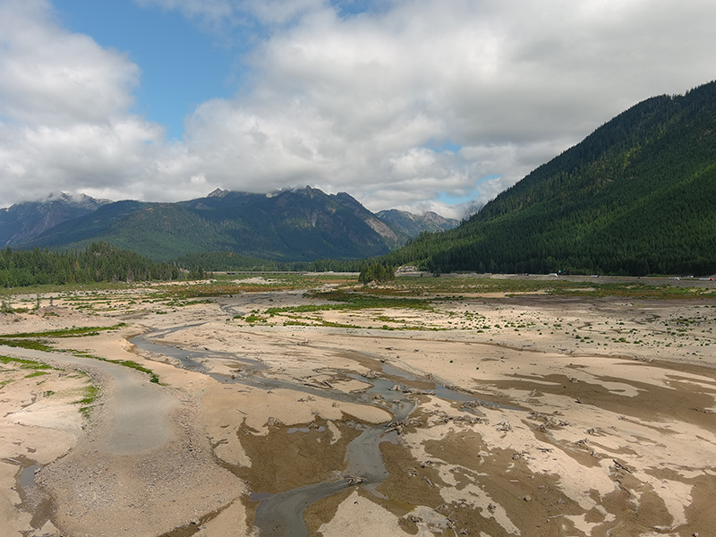
Drought conditions continue to be an issue in Washington. Photo by Joshua Rogala, WA Department of Fish and Wildlife.
If you are reading this, odds are good it’s raining. For some reason, anytime we publish a blog about drought, it rains. (And, sure enough, there is rain in the forecast across much of Washington this week.)
Don’t be fooled. Your lawn may be soaking up a late-summer shower, but the medium- and long-term forecast is warm and dry.
After another warmer than normal, drier than normal month in July — on the heels of a drought declaration — the current trend of “warm and dry” may not exactly qualify as news.
But the extent to which “warm and dry” is the consensus forecast for the foreseeable future it should be newsworthy, because water users need to be looking ahead and preparing for what today’s “warm and dry” will mean for them in 2024.
“If you’re a junior water right holder, now is the time to get together and start talking about next year’s emergency and seasonal transfers,” said Ecology drought guru Jeff Marti. “If they’ve been curtailed in the past, they’ll probably be curtailed again.”
Marti said water users can start looking for potential water rights to be transferred using Ecology’s Water Rights Search Tool, but they may need to hire consultants or even look to the private marketplace to find the water they need.
Ecology needs to declare a drought for emergency water right transfers, but we can process non-emergency seasonal transfers at any time.
This isn’t just a concern for 2023 and 2024: Water supply issues are likely to become more frequent in the years ahead. According to climate change models, warm winters will result in more precipitation falling as rain instead of snow, meaning droughts could become more frequent in snow-dependent watersheds. Water users should start planning ahead for more frequent droughts in the coming years.
Will the fall rains help? Don’t count on it. According to current predictions, the fall rains that so many of us pin our hopes upon may not be coming, at least not in the amounts needed to recharge the aquifers and replenish the streams. The winter snowpack we’re always going on about may not come either, thanks to the looming weather boogeyman, El Niño.
El Niño typically means warm winters in the Pacific Northwest.
Averaged statewide, May through July of this year was the fourth-driest and the sixth-warmest on record. Despite a smattering of rain in recent weeks, so far August hasn’t provided any reason to think it will get much wetter.
The long-range forecast from the National Oceanic and Atmospheric Administration suggests September through November will also be warm and dry. NOAA’s outlook for January through March is also warm and dry relative to seasonal norms.
If it’s raining as you read this, be thankful, but don’t be fooled.

