Environmental Assessment
Our Environmental Assessment Program's mission is to measure, assess, and communicate environmental conditions in Washington. We work to improve the environment for current and future generations through innovative, excellent science and thriving partnerships.
We assess Washington's environment
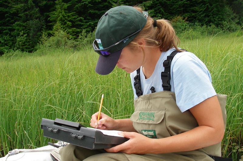
The Environmental Assessment Program is the science arm of Ecology. Our scientists measure and analyze environmental conditions. Quality data is our highest priority. We use this data to evaluate and communicate environmental threats and to guide the state’s environmental policy decisions.
We engage in new partnership opportunities whenever possible to collaborate on scientific projects to inform environmental policy. We collaborate with state, federal, Tribal, and local partners — such as EPA, the state Salmon Recovery Funding Board, local conservation districts, and the state departments of Natural Resources, Health, and Agriculture.
Our scientific services
-
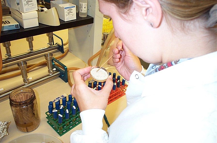
Manchester Environmental Laboratory provides governmental laboratory services from experienced chemists and environmental scientists.
-
Our Laboratory Accreditation unit makes sure Washington's environmental laboratories conduct analyses according to prescribed methods. They can help you find a lab.
-
Our Quality Assurance program provides a structured and documented framework for our environmental data operations.
Monitoring & assessing air, water, and soil
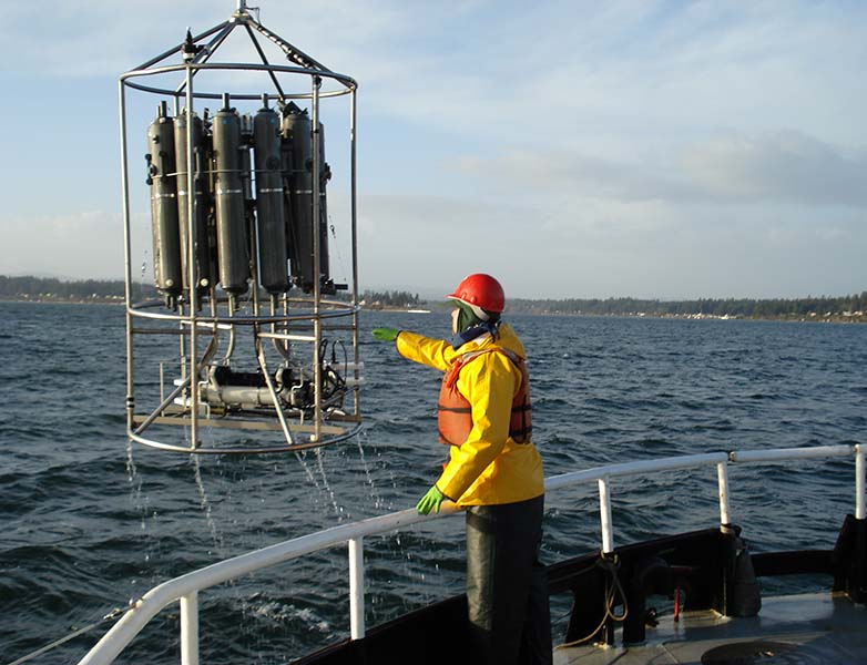
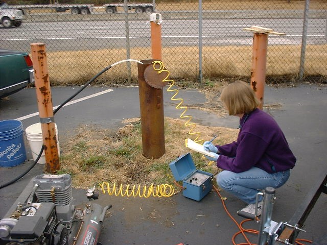
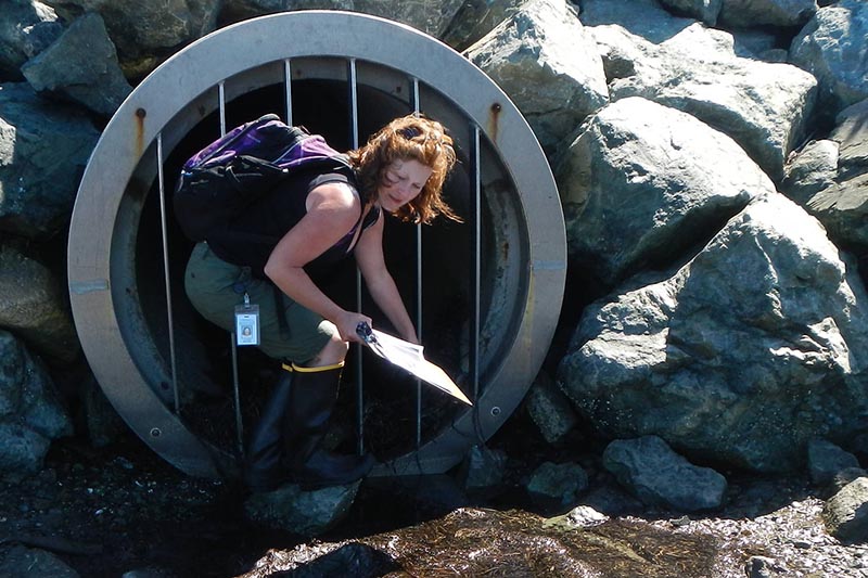
We monitor air, water, and soil. The data we collect gives us real-time information. We use it to develop computer models to better understand current conditions and emerging trends. Our science guides Ecology's policy decisions. We also contract our scientific services to other governmental entities.
Freshwater studies
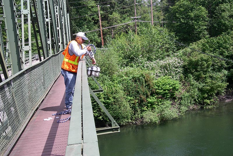
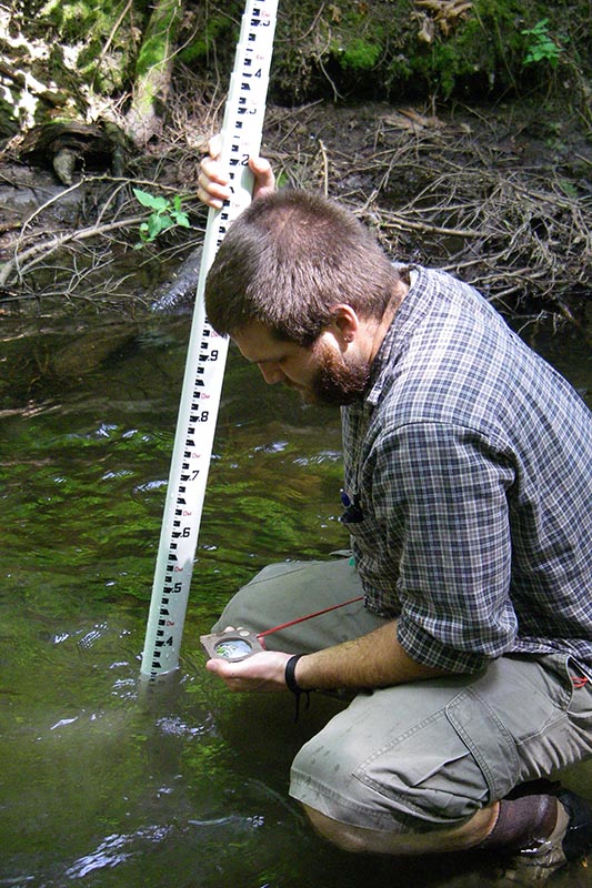
River & stream monitoring measures streamflow and many water quality parameters.
Puget Sound and coastal studies
- The BEACH: Beach Environmental Assessment, Communication, & Health program protects saltwater swimmers from bacterial illnesses.
Groundwater assessment
Toxics studies
Effectiveness monitoring
Peer-reviewed reports
Models & data tools
Environmental indicators
-
Heat map of marine conditions: Marine water condition index
Databases & maps
We have created specialized data collections, many with map interfaces.
- Our Environmental Information Management (EIM) database contains most of our environmental data.
Freshwater data
-
River and stream water quality holds historical data from monthly monitoring at hundreds of stream stations.
-
Freshwater Information Network holds nearly real-time data from 67 water-quality monitoring stations (using river & stream water quality data).
-
Watershed health habitat database
-
Lakes environmental data includes aquatic plants, toxic algae, herbicide use, fish management, grants and loans for lakes, and more.
Marine data
-
BEACH: Beach Environmental Assessment, Communication, & Health program data on bacterial contamination, including E. coli, Enterococcus, and fecal coliform.
-
Marine swimming beach advisory/ closure map is active during the summer swimming season.
-
Toxics data
-
Product testing data for toxic chemicals
Related links
Contact information
Mugdha Flores
Communications Manager
mugdha.flores@ecy.wa.gov
360-628-7692


